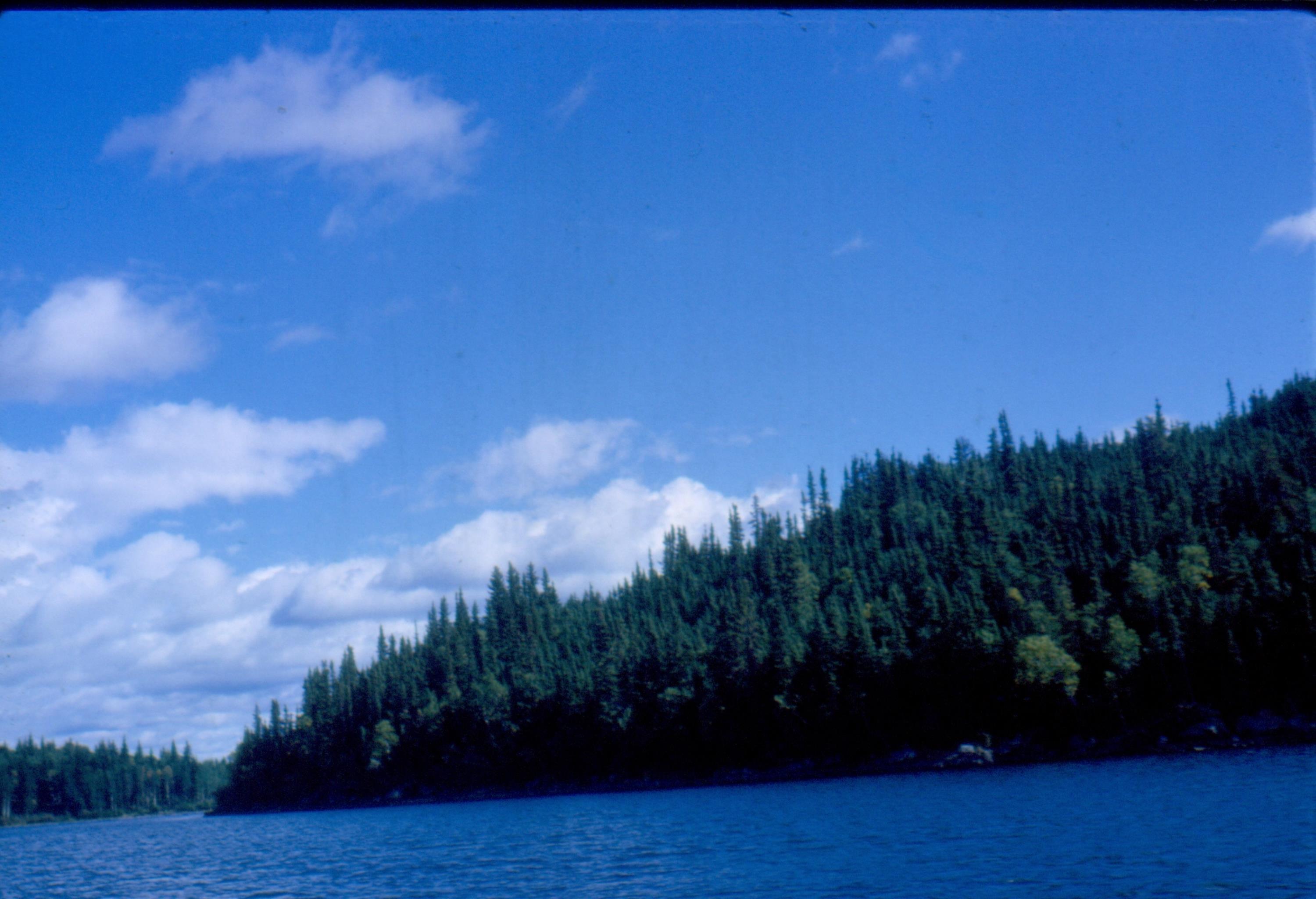
Cree Lake from 5,000 feet [ Aug 17, 1964 ] 1 / 51

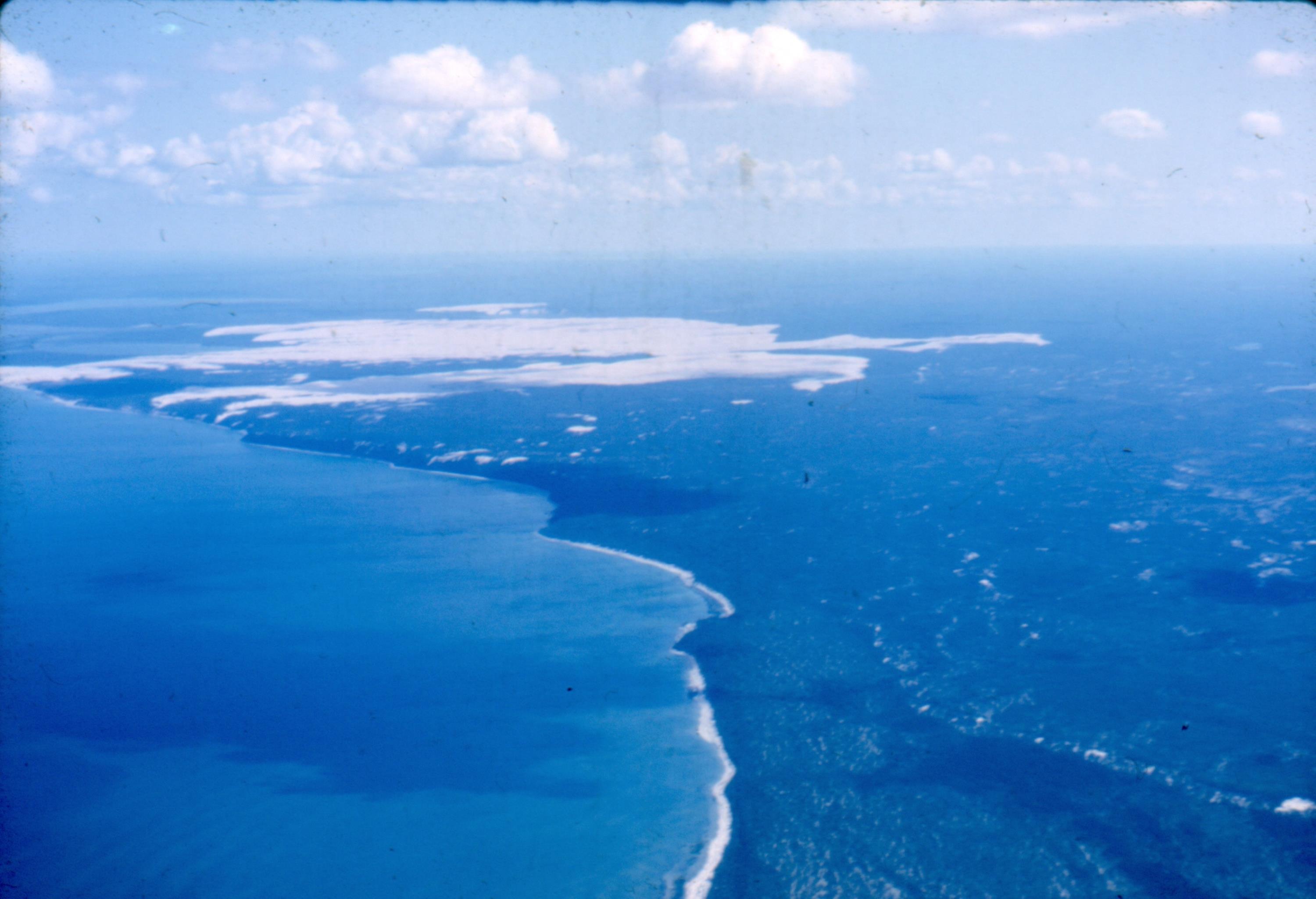
Sand fields on the south shore of Athabasca Lake [ Aug 17, 1964 ] 2 / 51
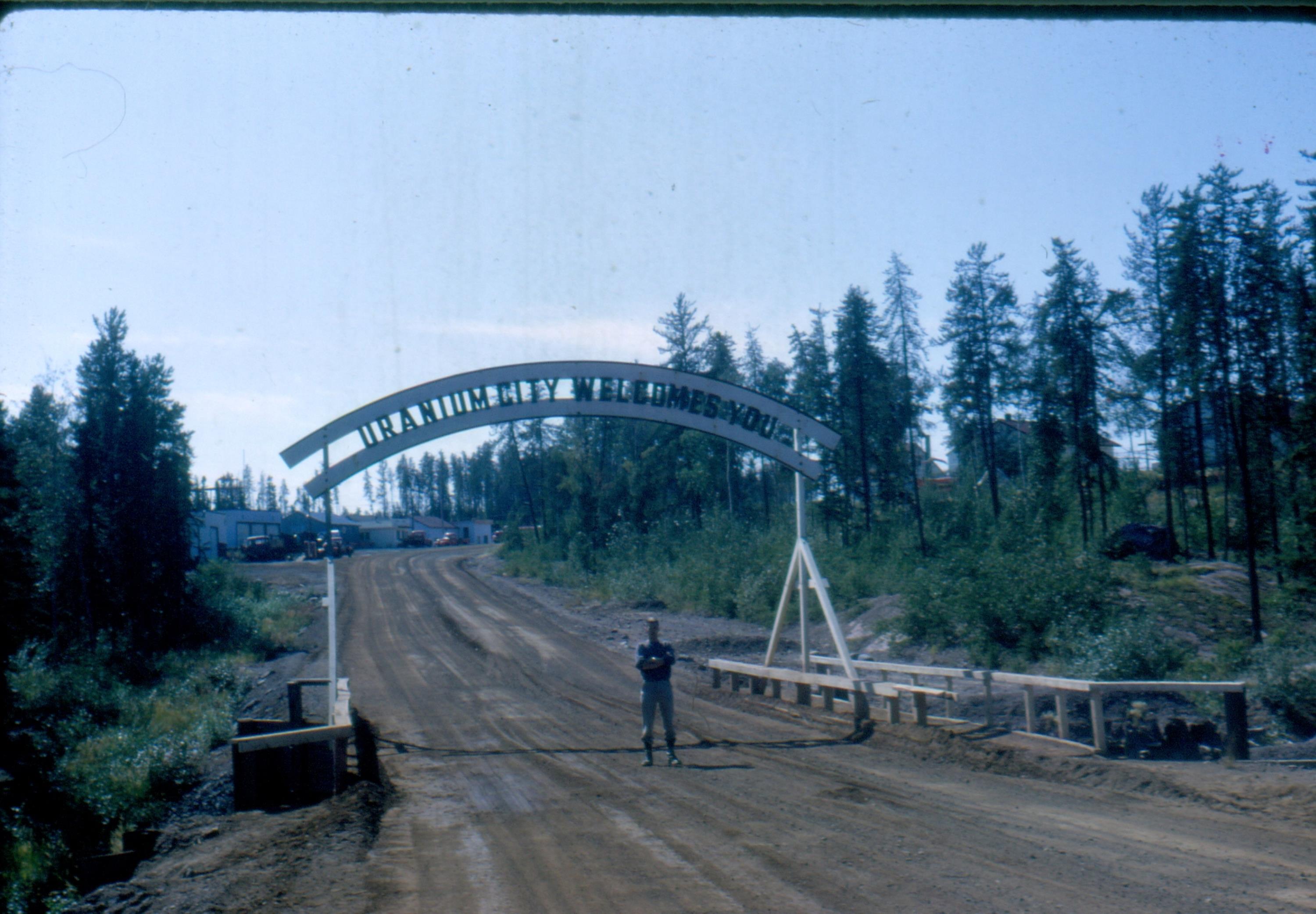
Bridge over small falls at Uranium City [ Aug 17, 1964 ] 3 / 51
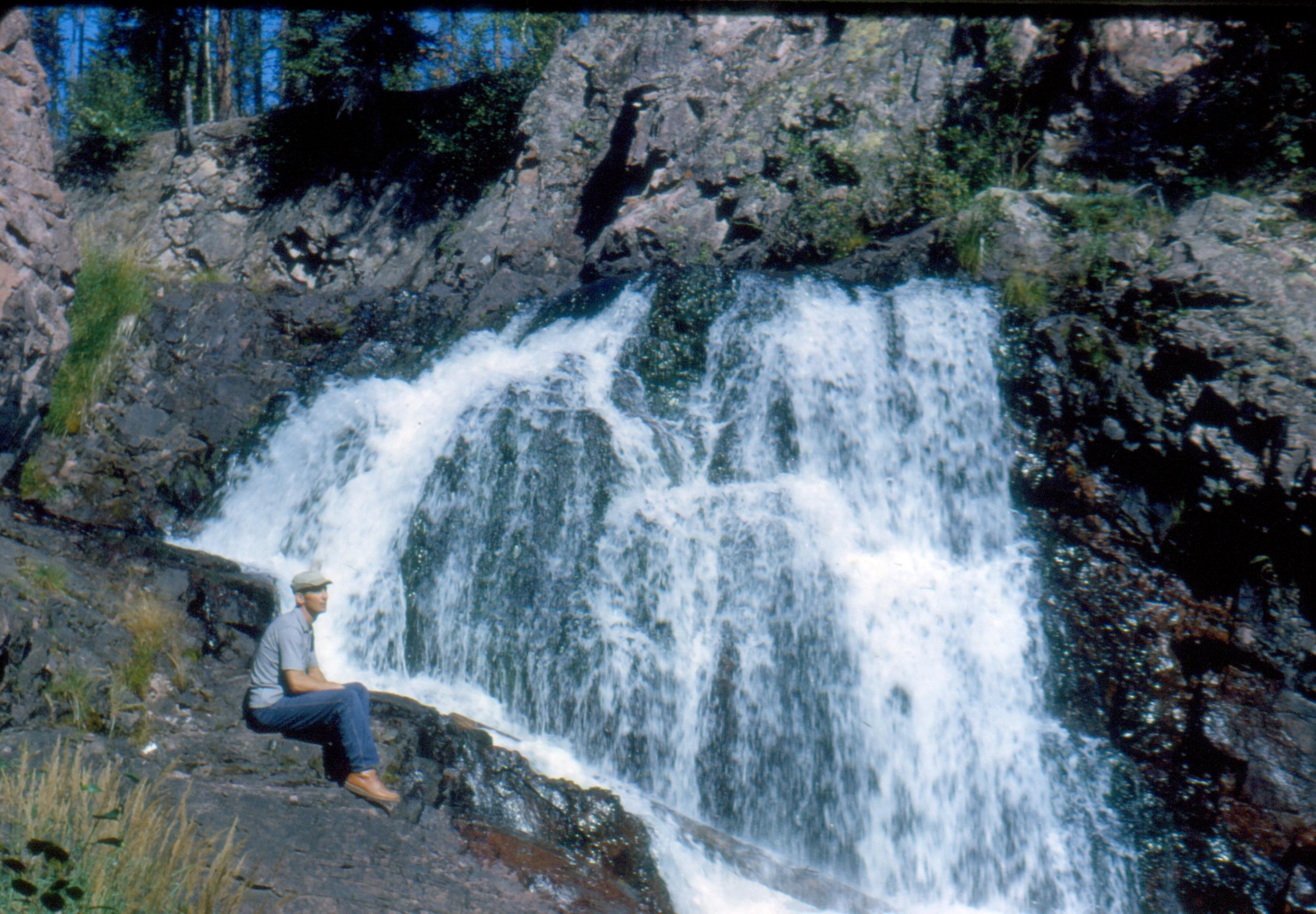
Below the bridge at the falls near Uranium City [ Aug 17, 1964 ] 4 / 51
Uranium City from the air [ Aug 17, 1964 ] 5 / 51
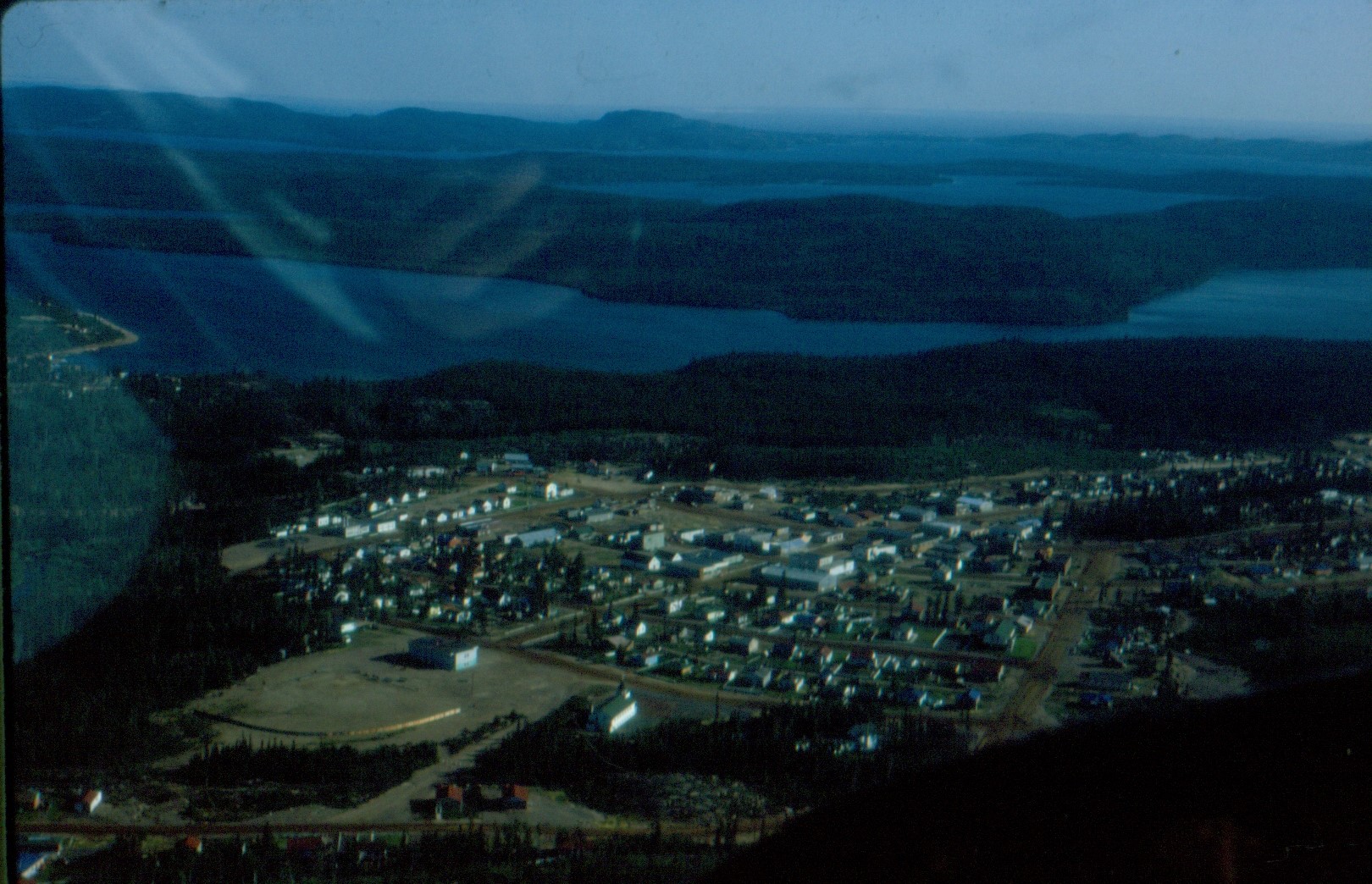
Beaverlodge Mine and airfield east of Uranium City [ Aug 17, 1964 ] 6 / 51
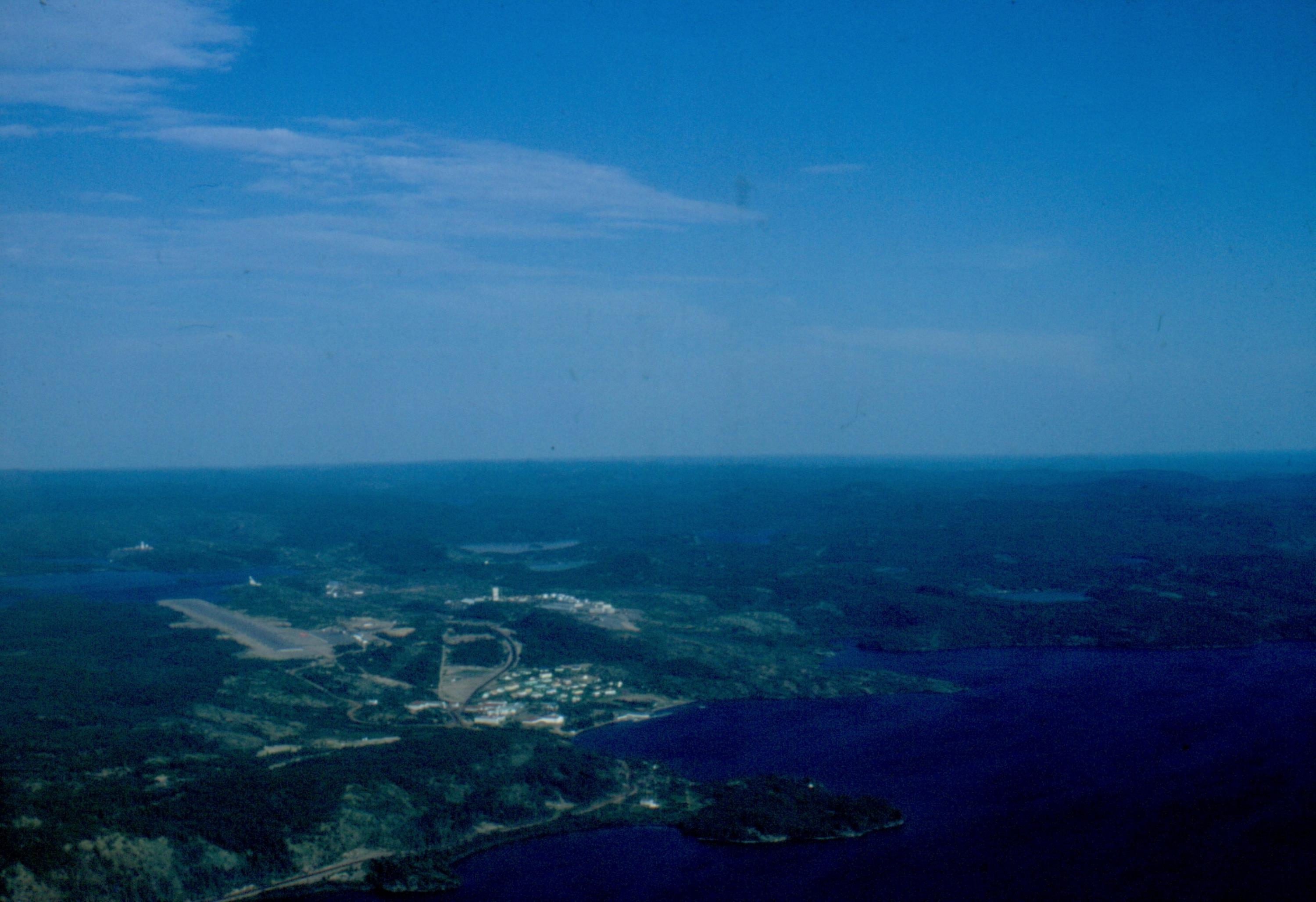
Ena Lake northeast of Uranium City [ Aug 18, 1964 ] 7 / 51
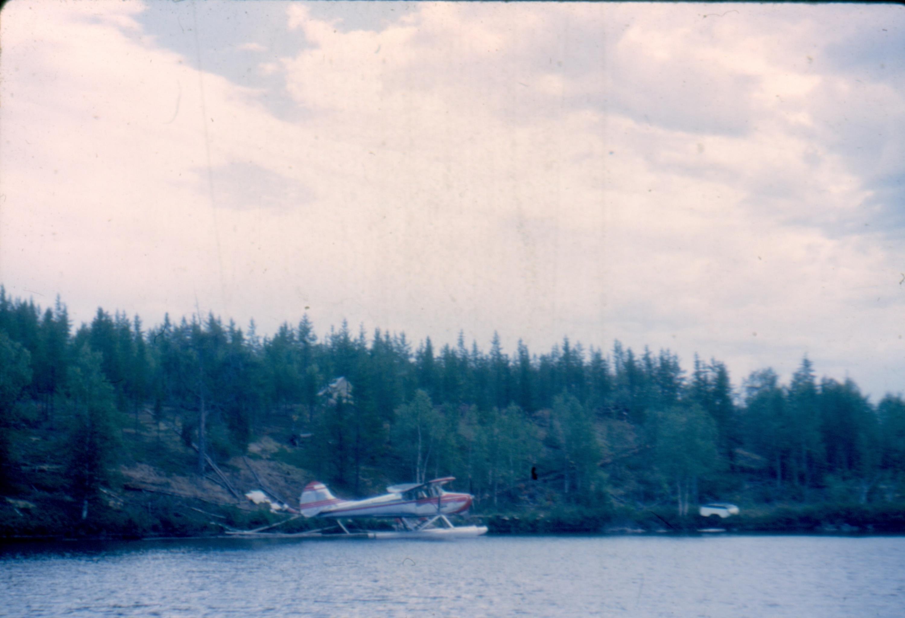
The quiet and almost frightening bay at Ena Lake [ Aug 19, 1964 ] 8 / 51
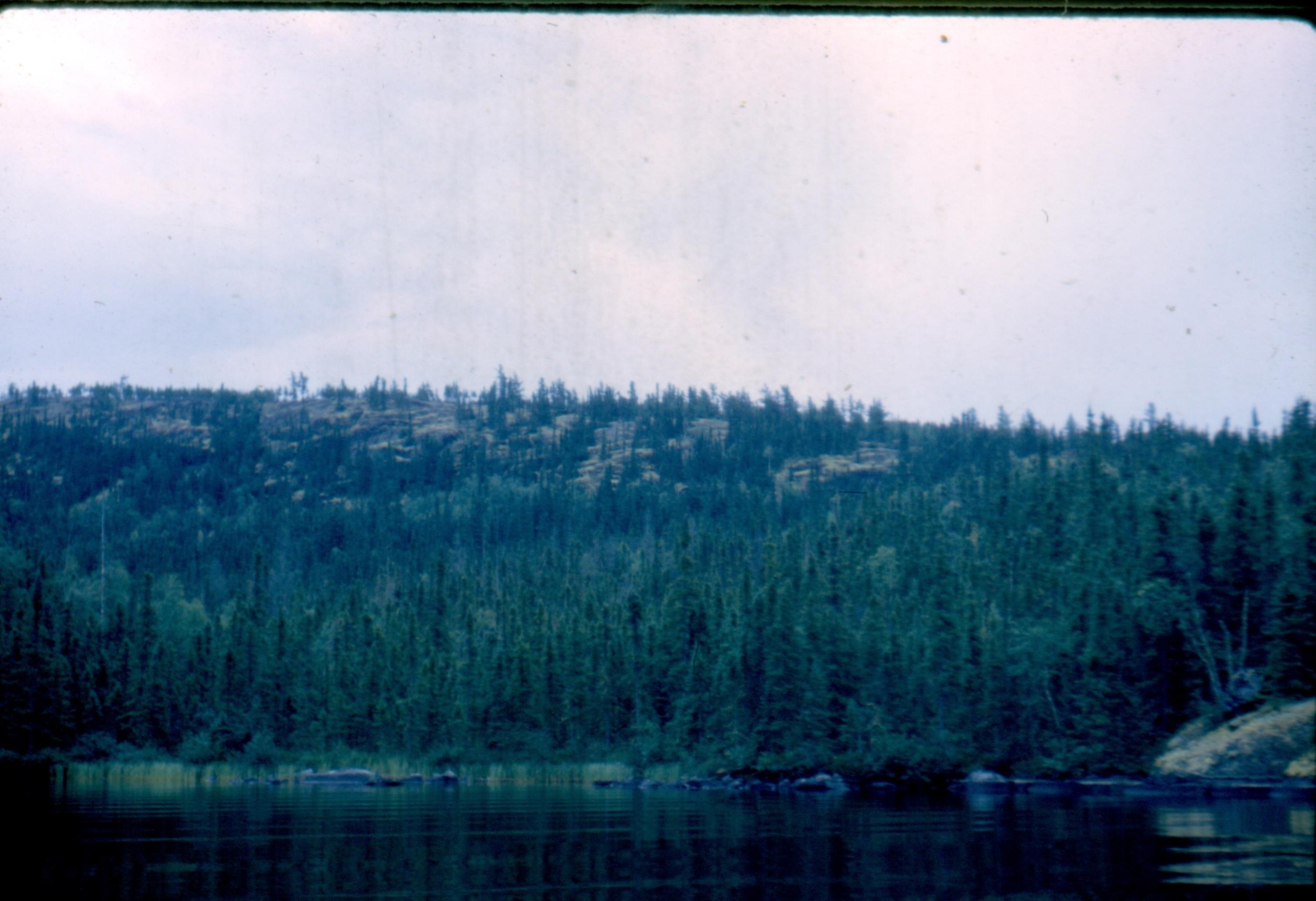
O'Connor Lake showing Rayrock Mines Ltd which closed in 1953 [ Aug 19, 1964 ] 9 / 51
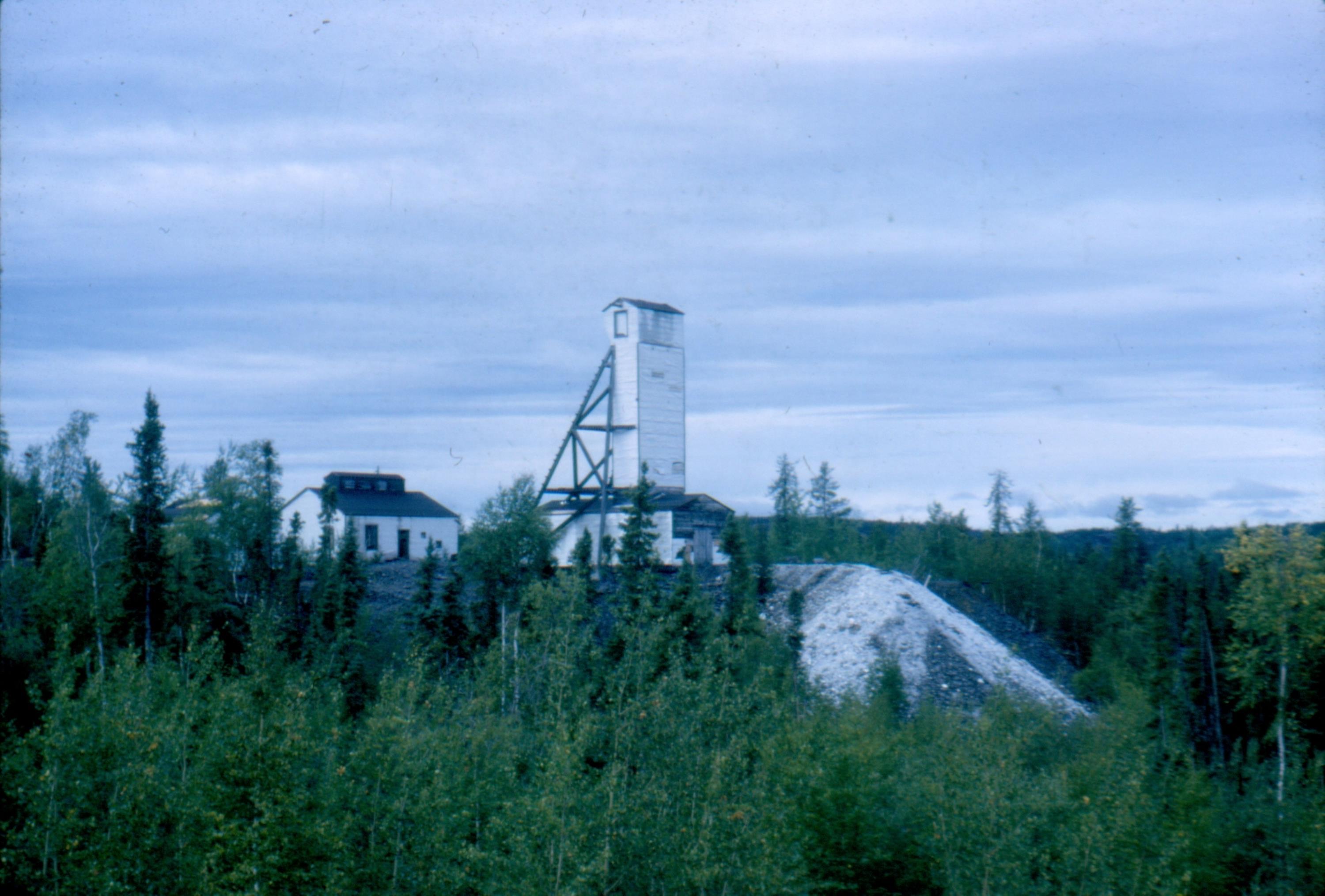
O'Connor Lake NWT, 164 miles north of Uranium City [ Aug 19, 1964 ] 10 / 51
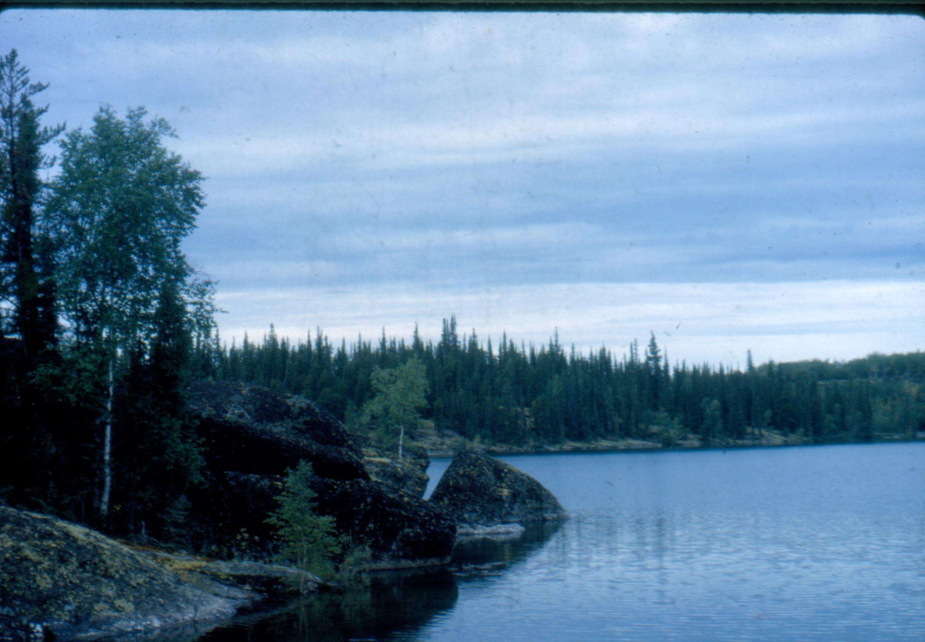
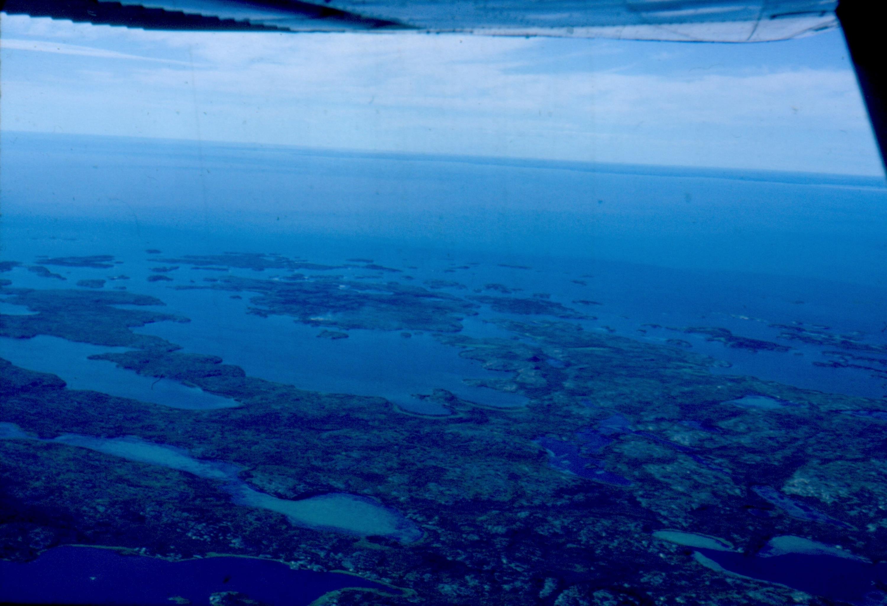
Simpson Islands on Great Slave Lake [ Aug 20, 1964 ] 11 / 51

Looking west over Great Slave Lake [ Aug 20, 1964 ] 12 / 51
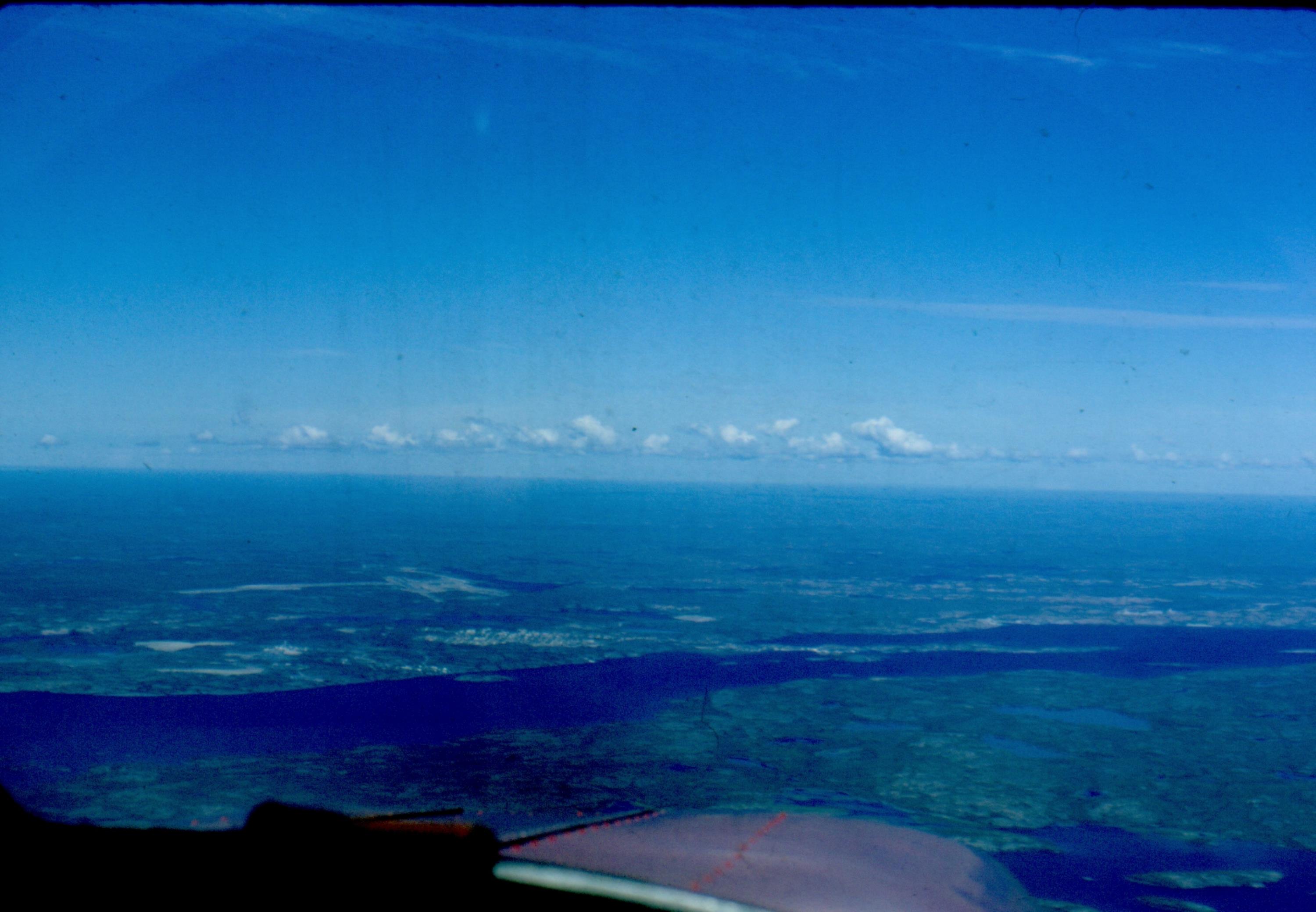
Yellowknife NWT comes into view [ Aug 20, 1964 ] 13 / 51
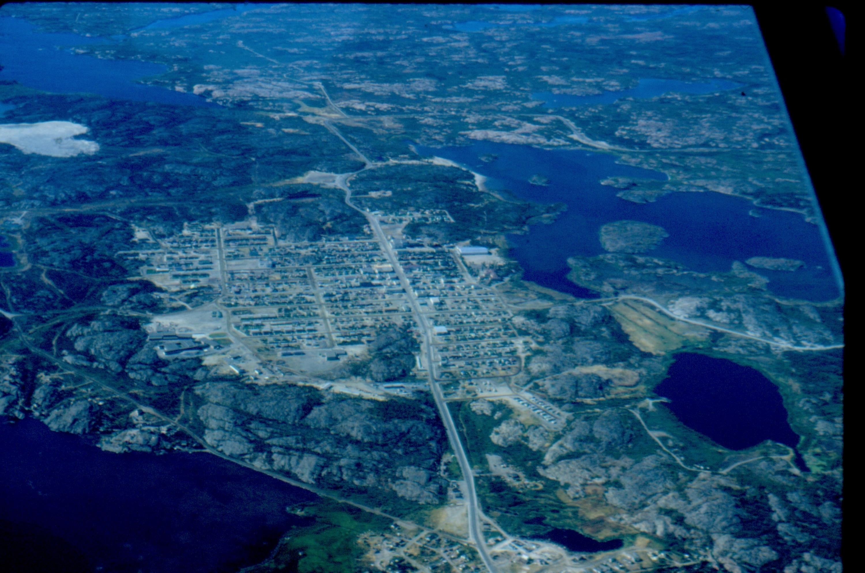
Yellowknife new townsite [ Aug 20, 1964 ] 14 / 51
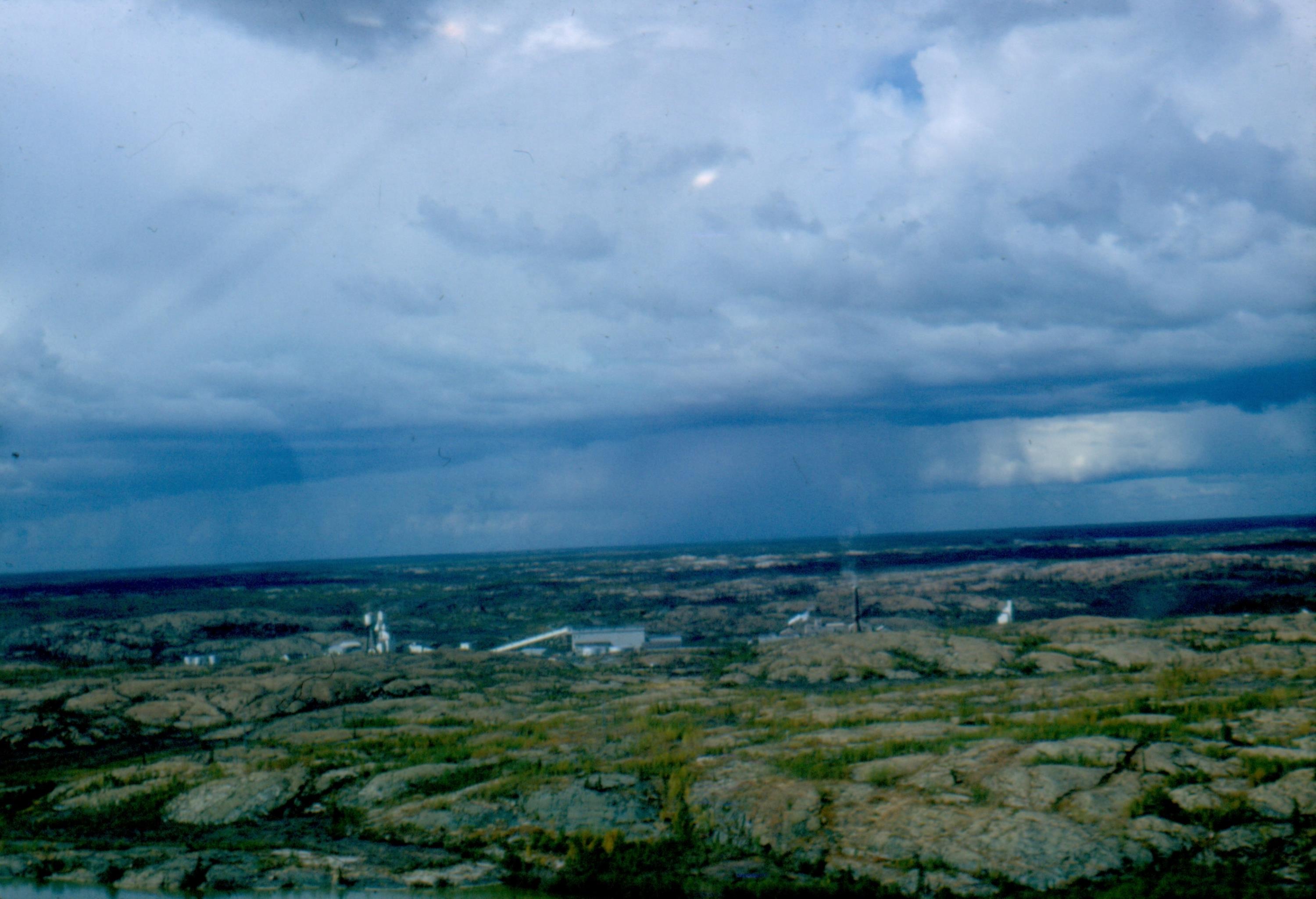
The Giant Gold Mine north of Yellowknife [ Aug 20, 1964 ] 15 / 51
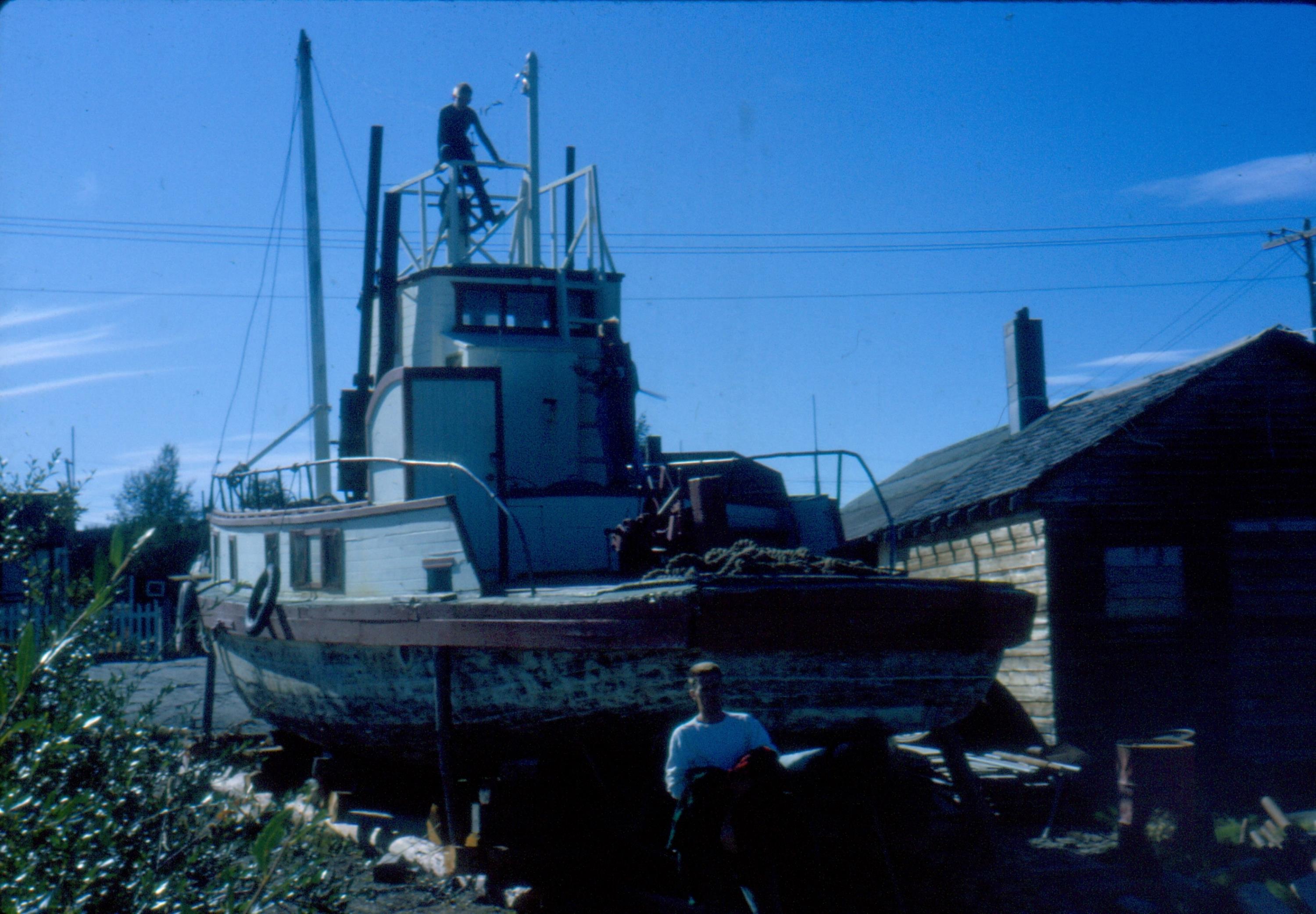
Tug being repaired at Yellowknife [ Aug 20, 1964 ] 16 / 51
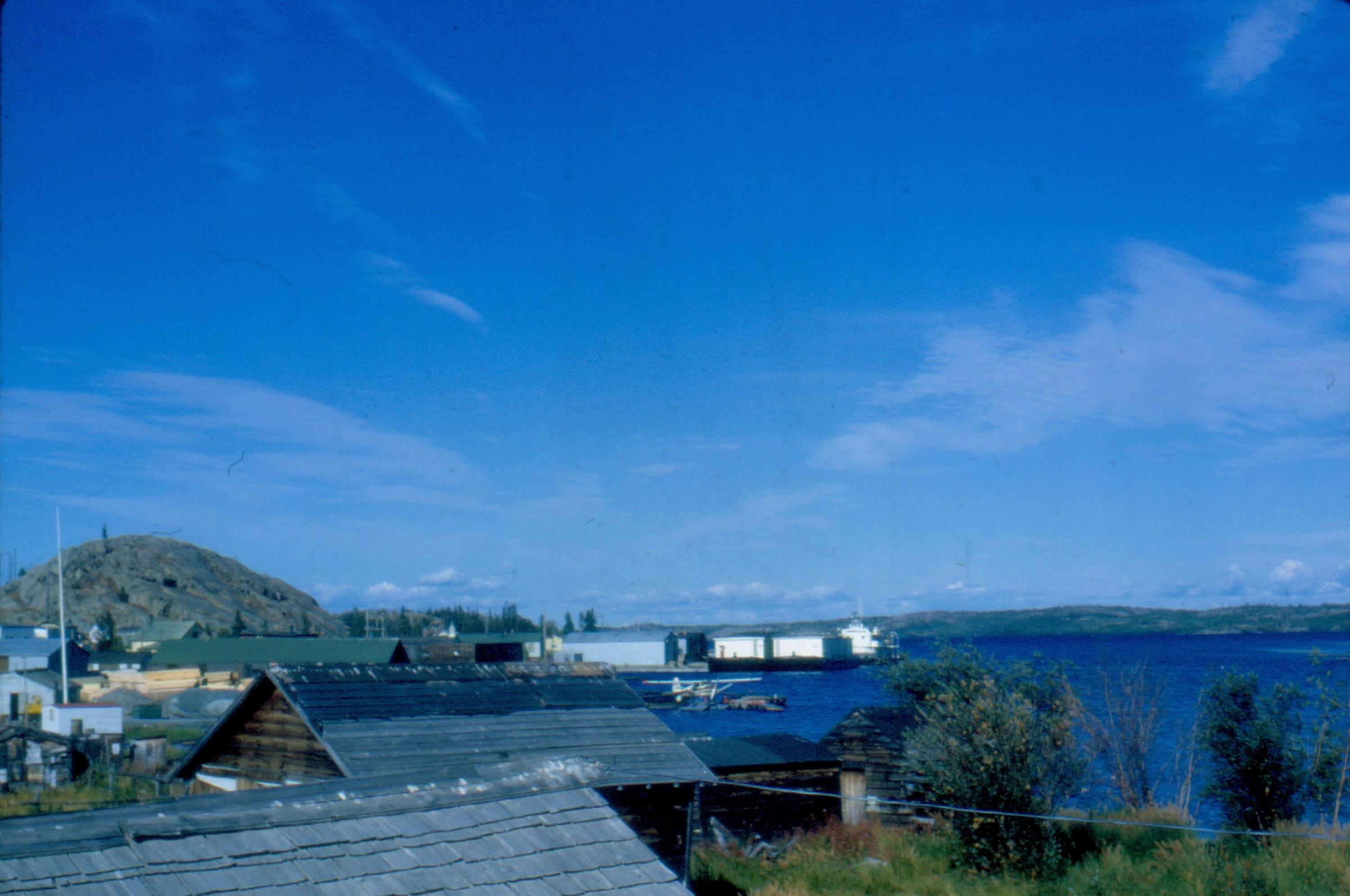
Yellowknife scenery with barges for the McKenzie River [ Aug 20, 1964 ] 17 / 51
Barge and tug at Yellowknife [ Aug 20, 1964 ] 18 / 51
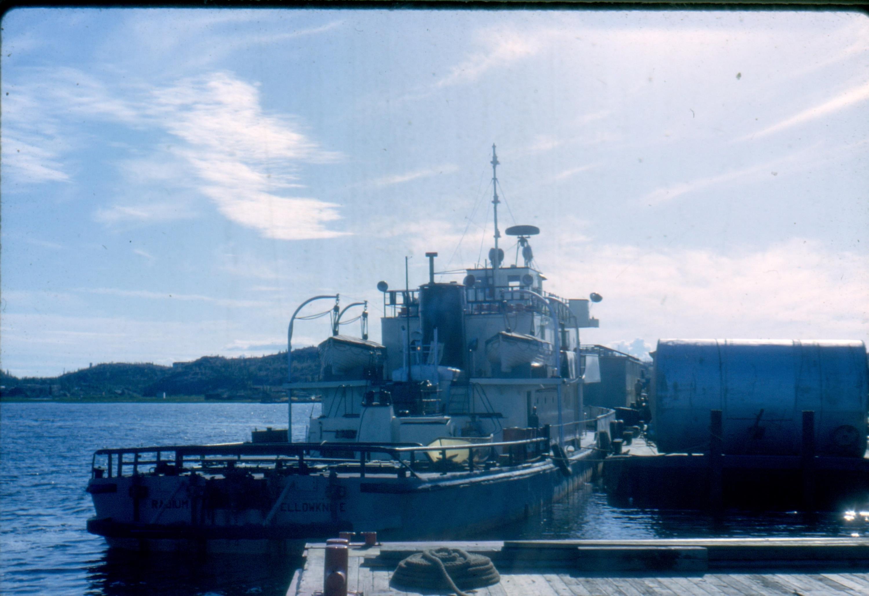
Consolation Lake (Frustration Lake) NWT [ Aug 20, 1964 ] 19 / 51
 NWT.jpg)
Consolation Lake Twin Spruce Point [ Aug 20, 1964 ] 20 / 51
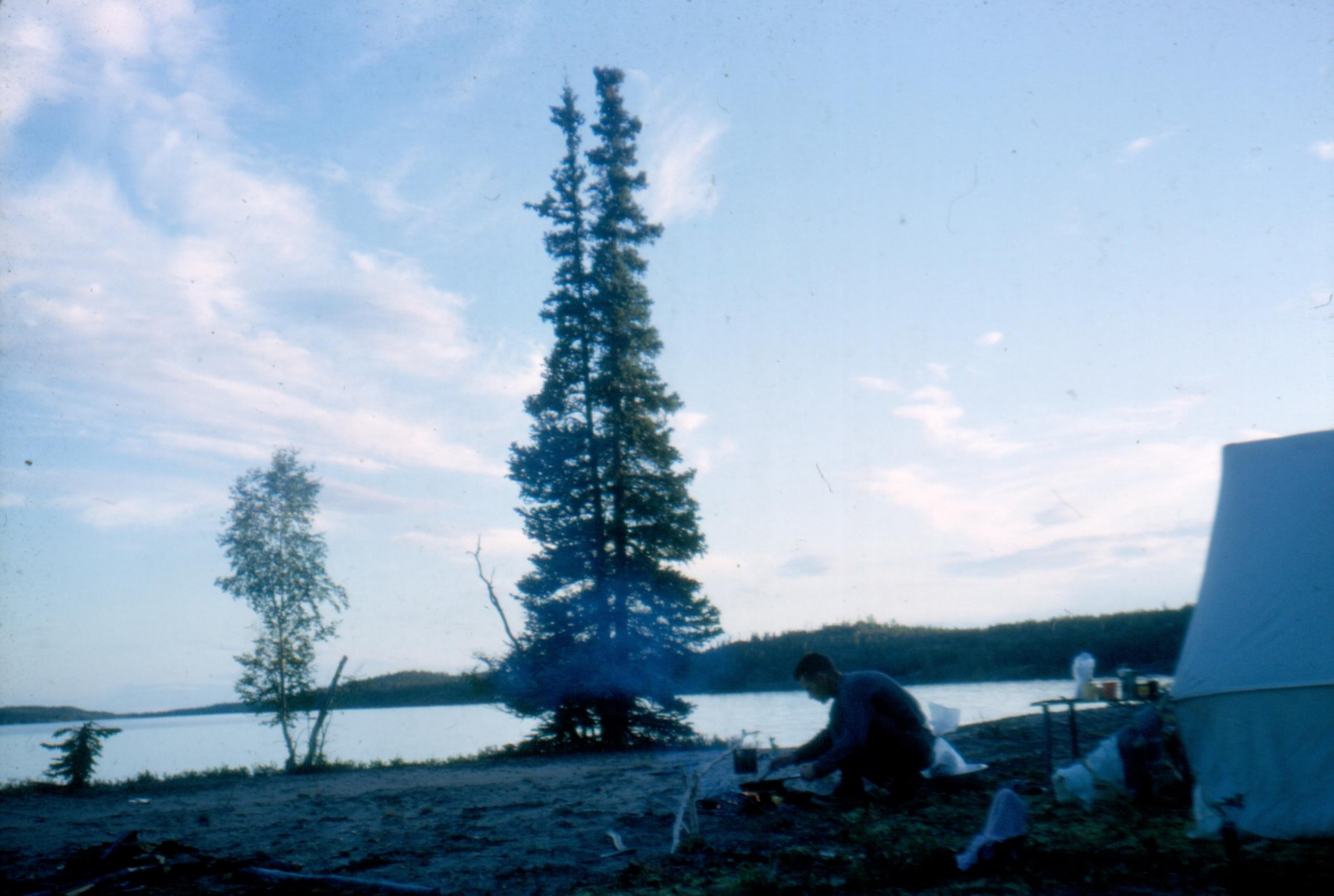
Milow on O'Connor Lake in NWT wit CF-FBL at 1030 at night [ Aug 20, 1964 ] 21 / 51
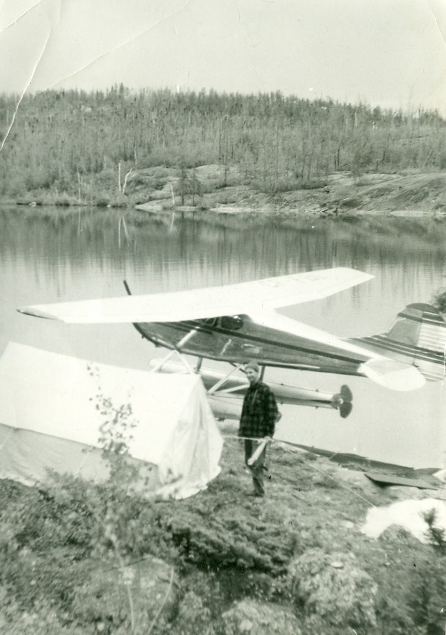
Sand fields on Athabasca Lake shore [ Aug 22, 1964 ] 22 / 51

Campsite on Hanging Shorts Lake and Tazin River [ Aug 22, 1964 ] 23 / 51
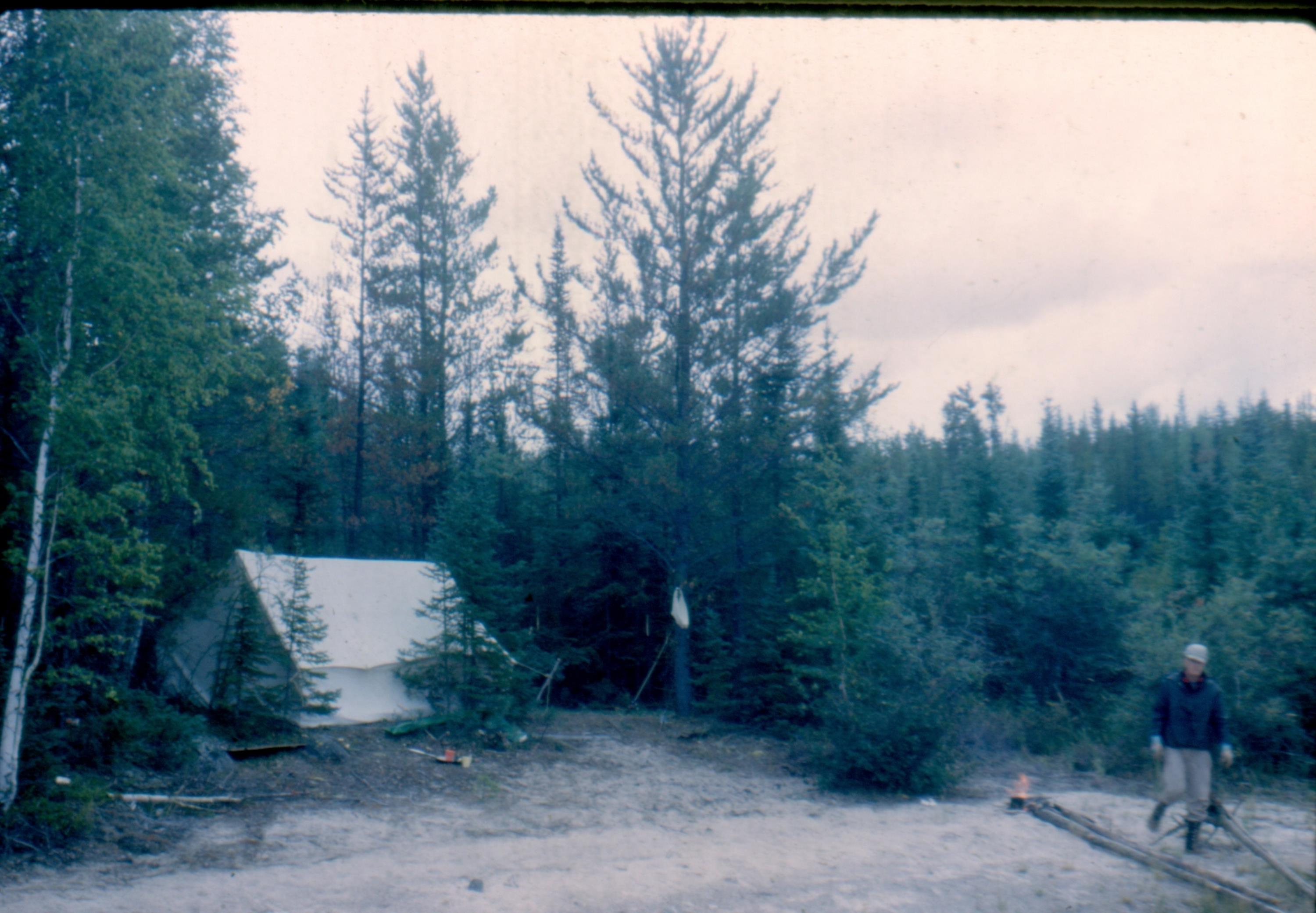
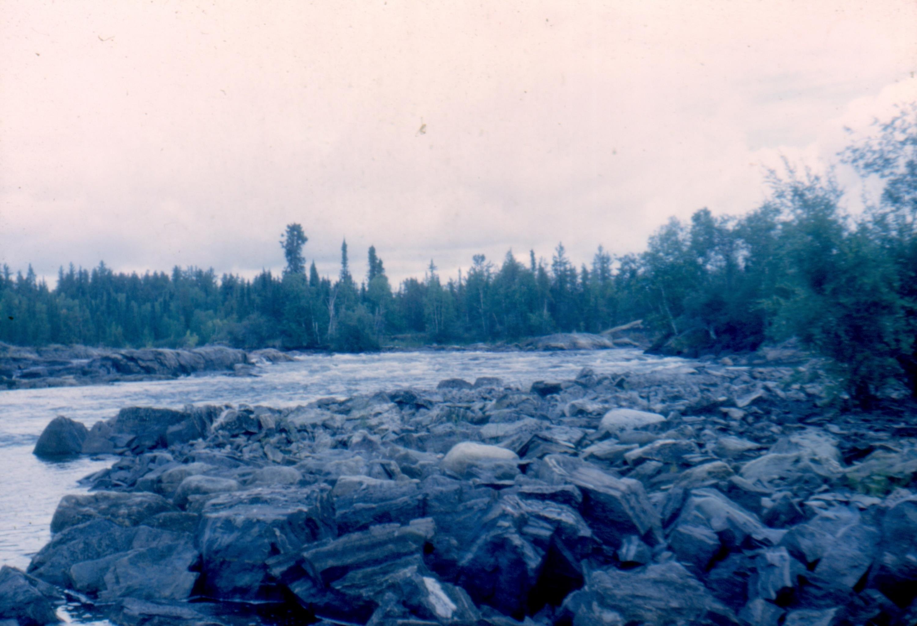
Tazin River, NWT [ Aug 22, 1964 ] 24 / 51
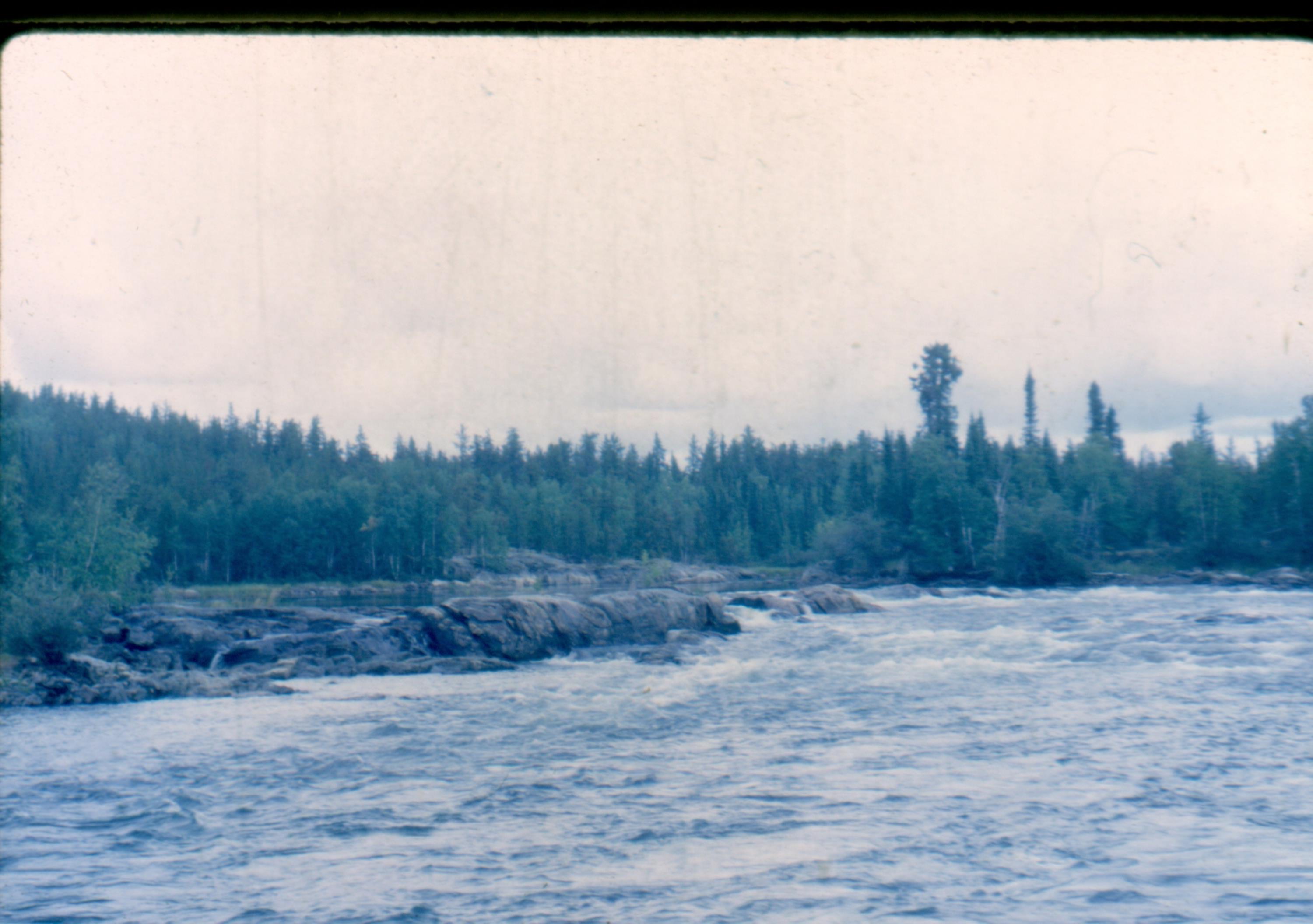
Tazin River, NWT [ Aug 22, 1964 ] 25 / 51
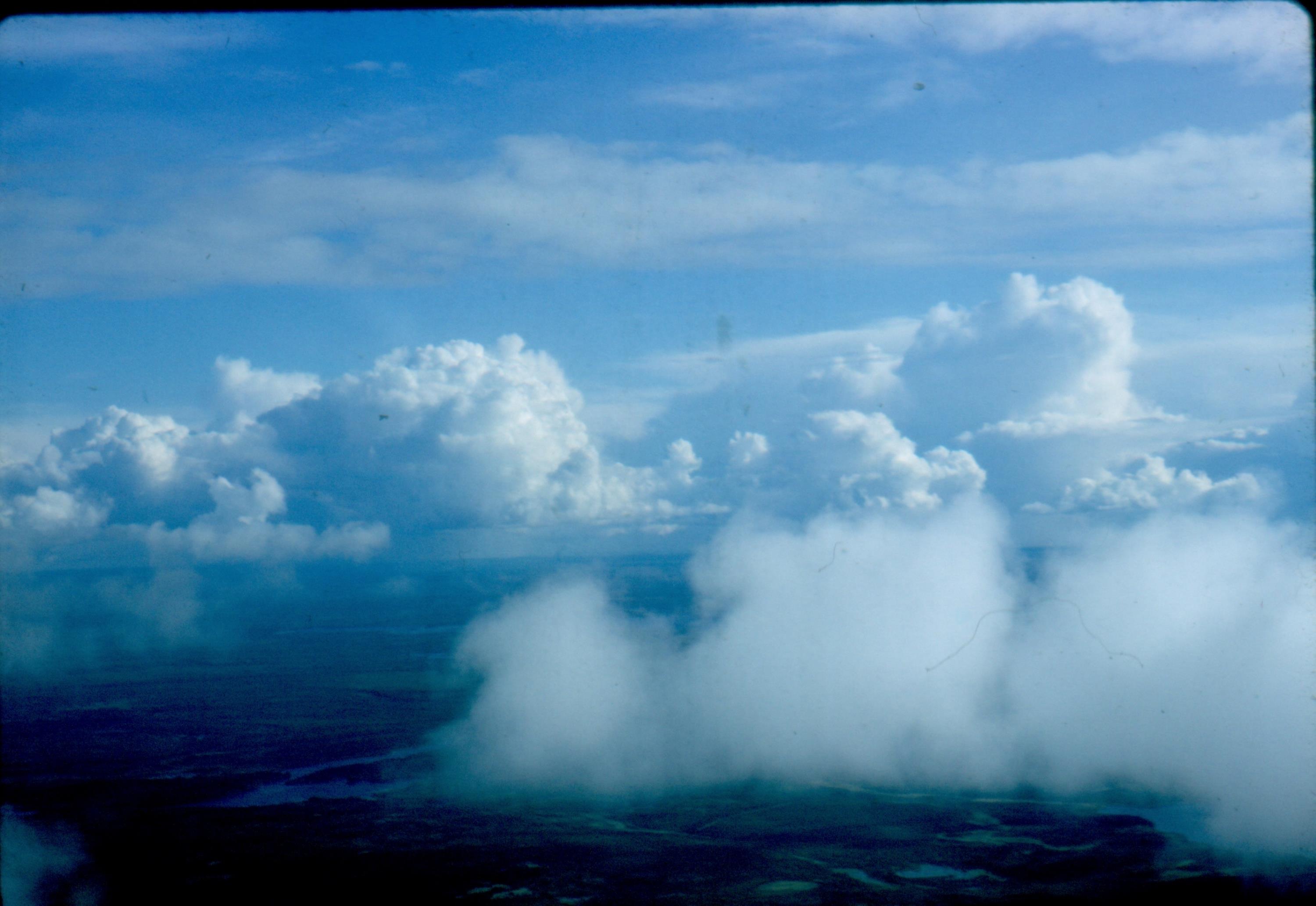
South of Athabasca Lake going home to La Ronge [ Aug 22, 1964 ] 26 / 51
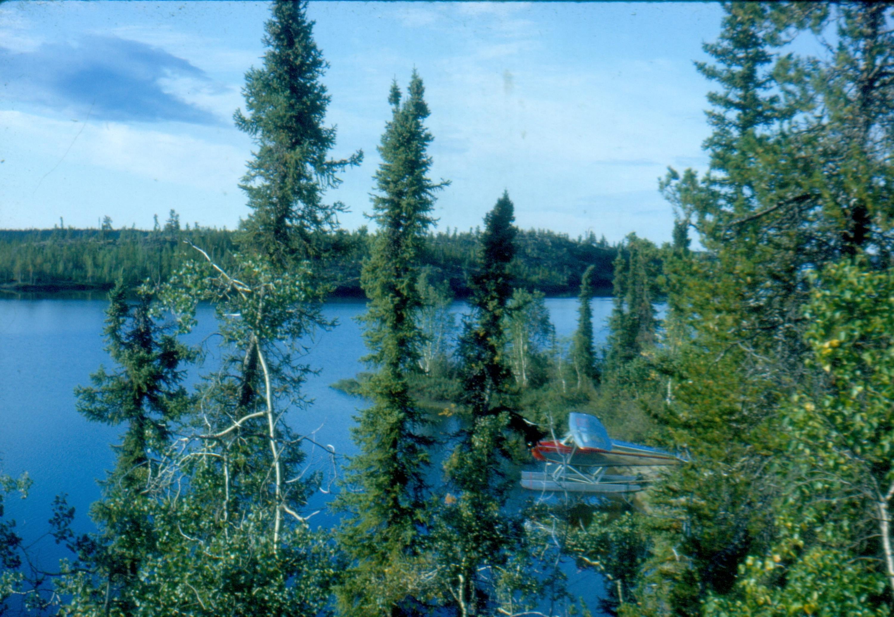
Bob Kelly's plane CF-FBL at our campsite on Consolation Lake [ Aug 24, 1964 ] 27 / 51
Tazin River, NWT [ Aug 24, 1964 ] 28 / 51
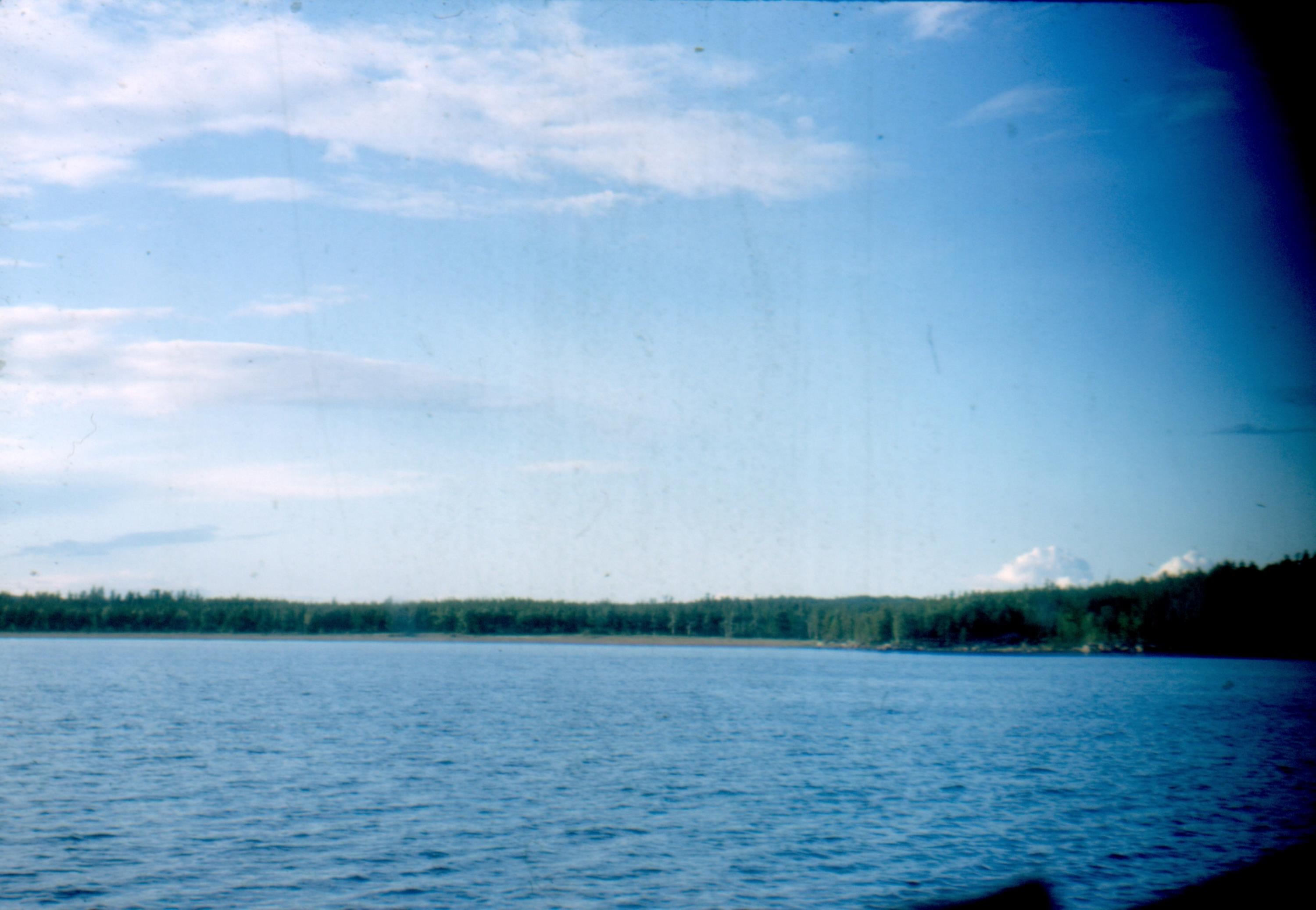
Nemeiben River [ Aug 24, 1964 ] 29 / 51
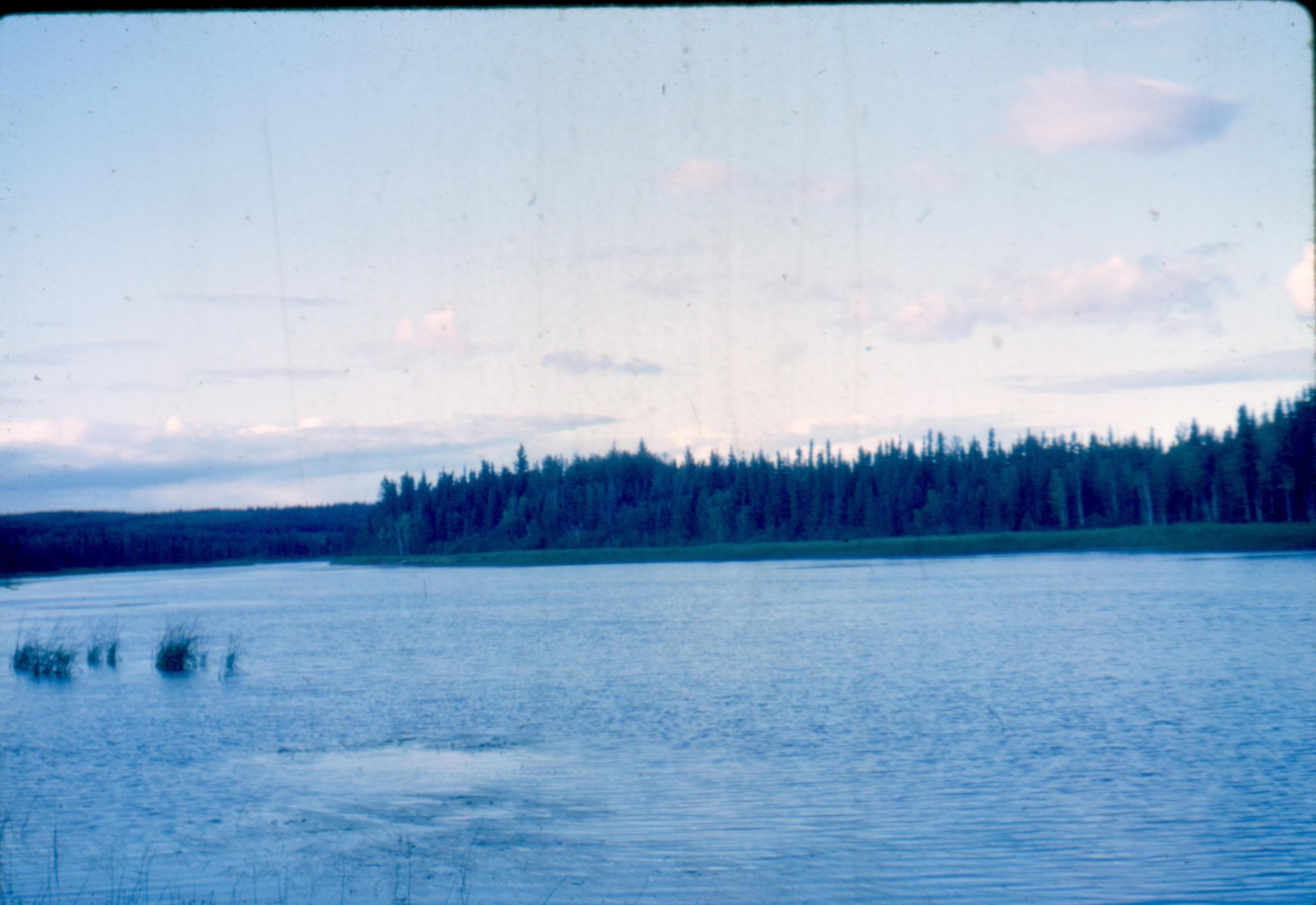
Ye Old Fishing Hole on the Nemeiben River [ Aug 24, 1964 ] 30 / 51
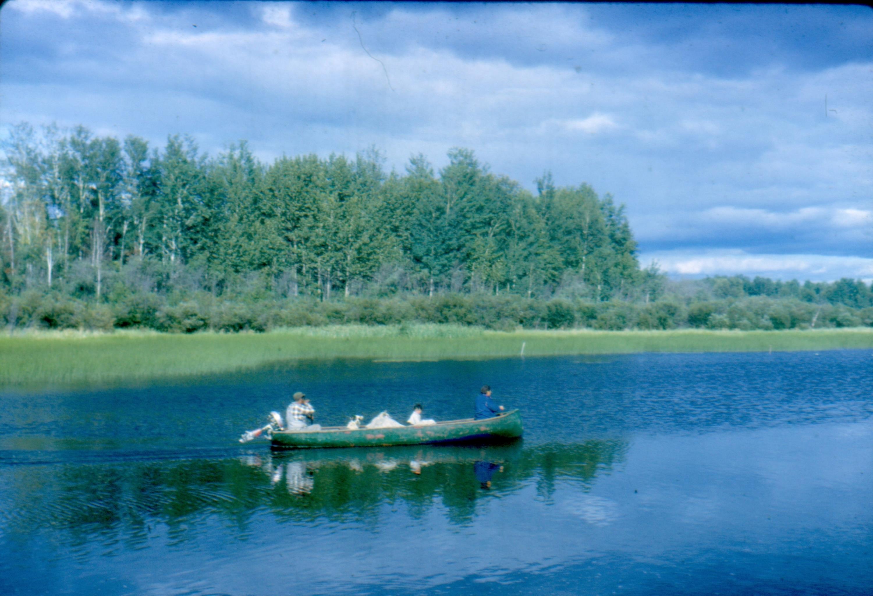
My sign that I made for Len Kelly at Missinipe [ Aug 25, 1964 ] 31 / 51
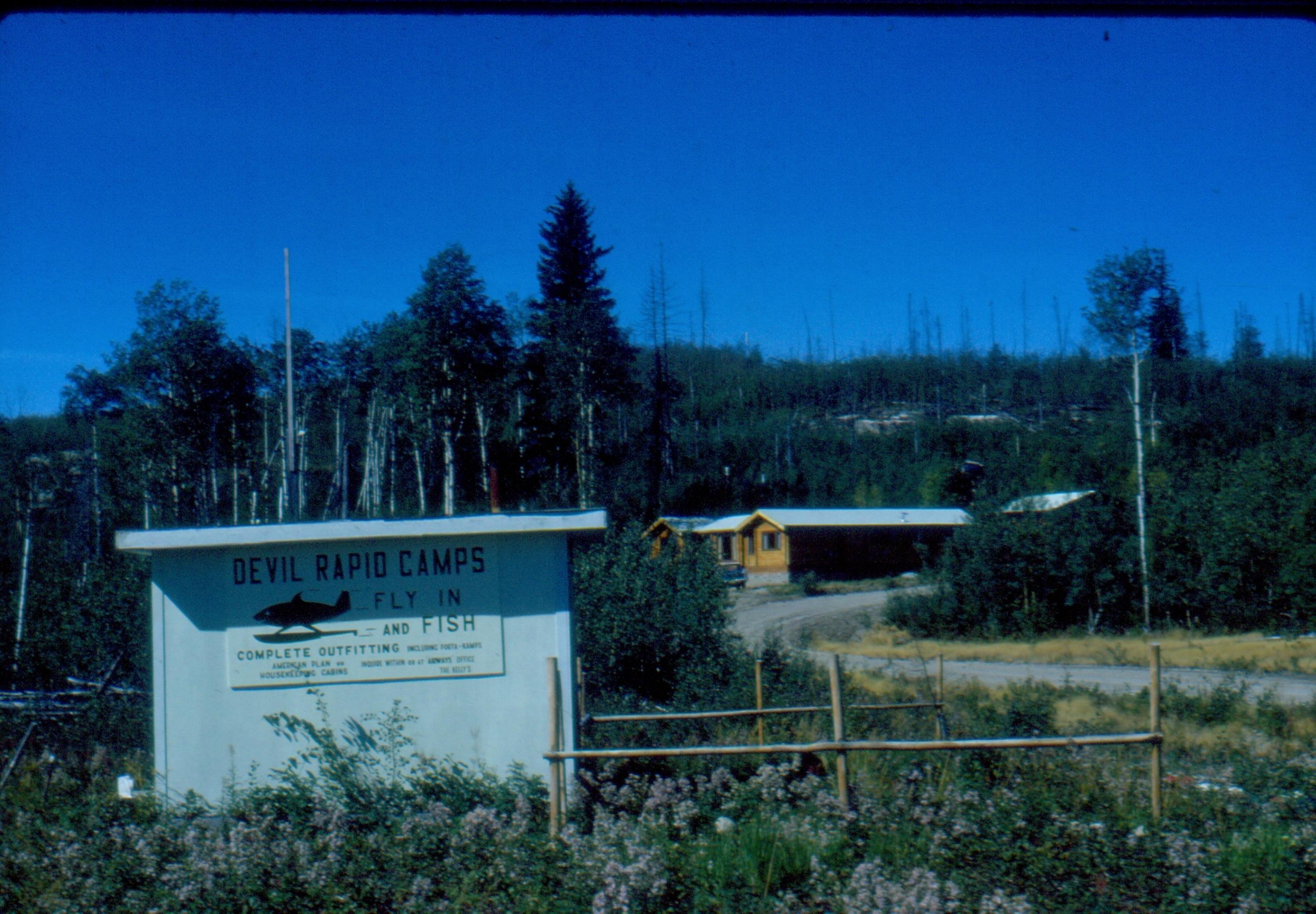
Panistick Lodge at Missinipe [ Aug 25, 1964 ] 32 / 51
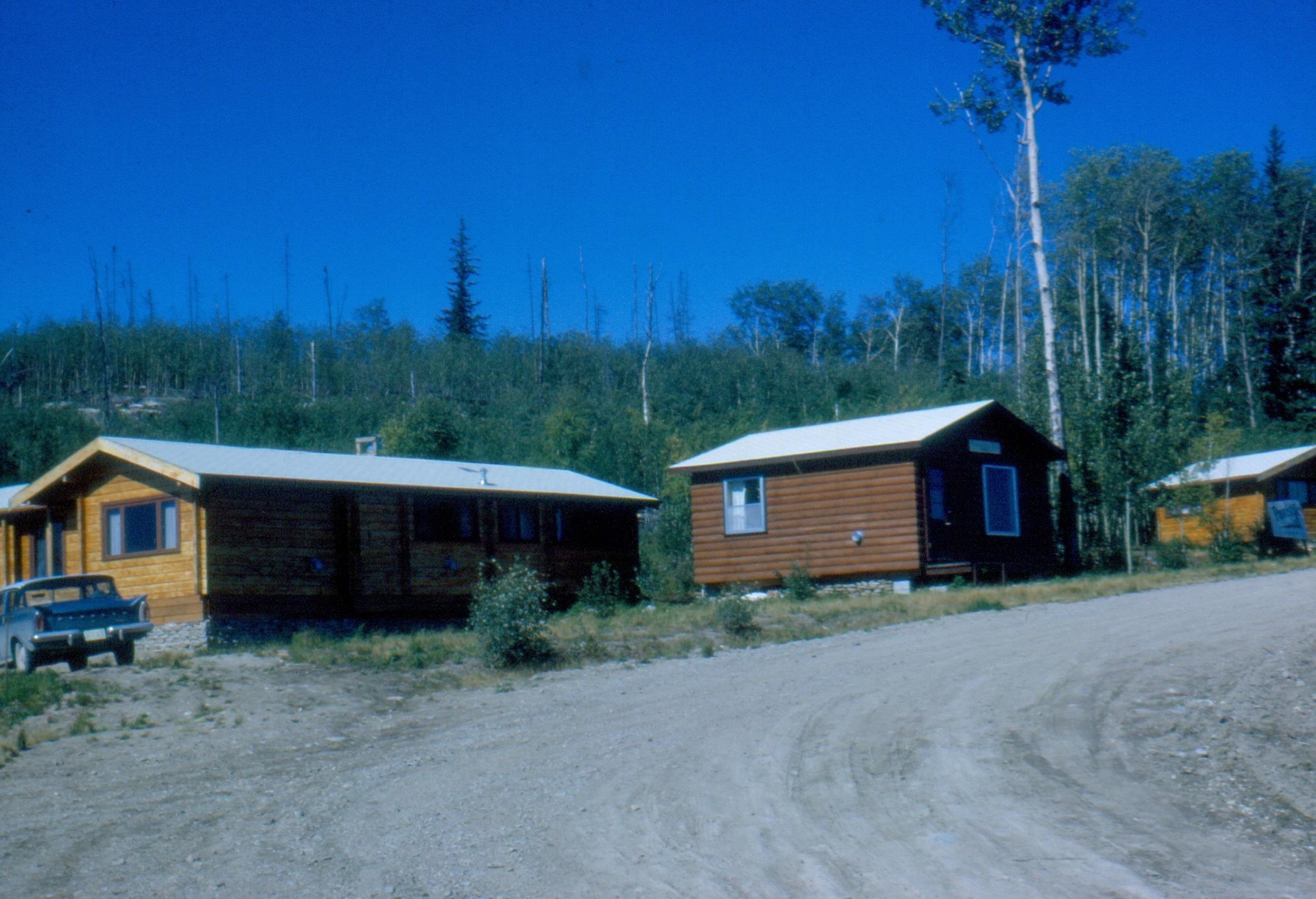
Otter Bridge with new road construction [ Aug 25, 1964 ] 33 / 51

School at south end - Ken Passelar [ Aug 25, 1964 ] 34 / 51
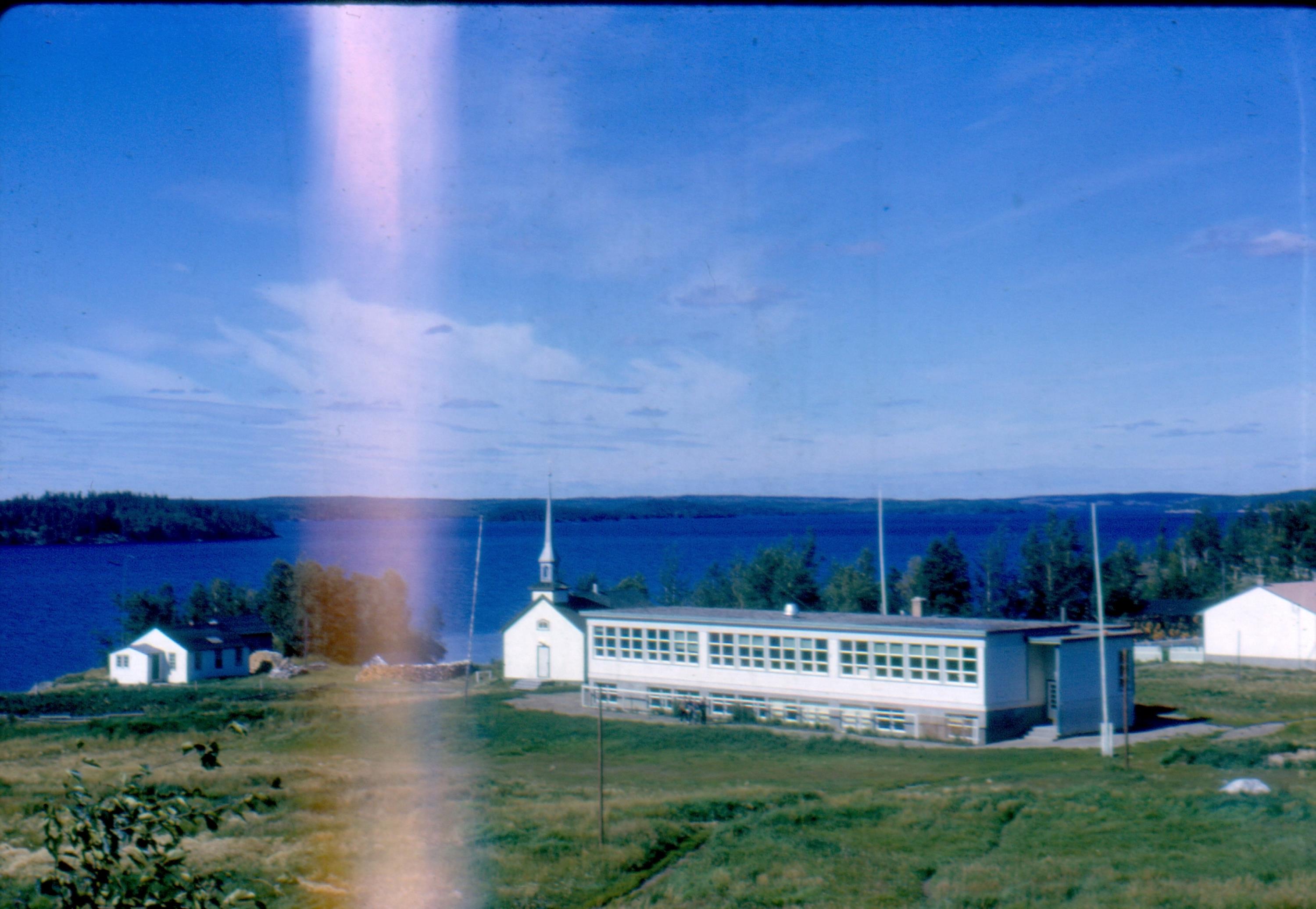
Bob Kelly at _Jumping Deer Lake_ Crocker Lake [ Aug 25, 1964 ] 35 / 51
.1.jpg)
Milow Worel at Jumping Deer Lake [ Aug 25, 1964 ] 36 / 51
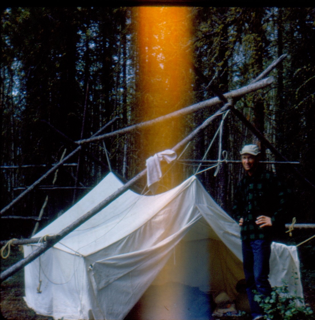
Crew Rapids and Dead Lake [ Aug 27, 1964 ] 37 / 51
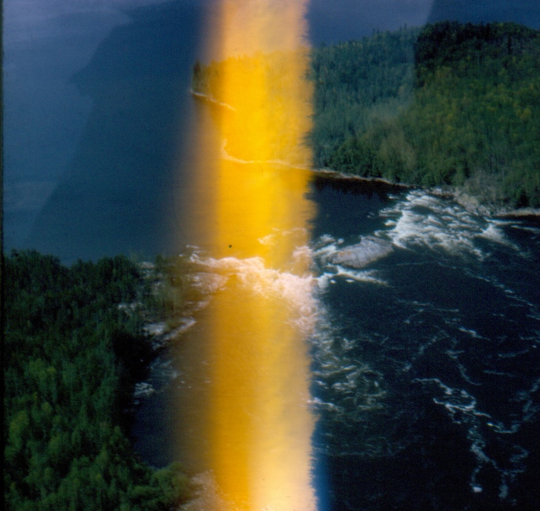
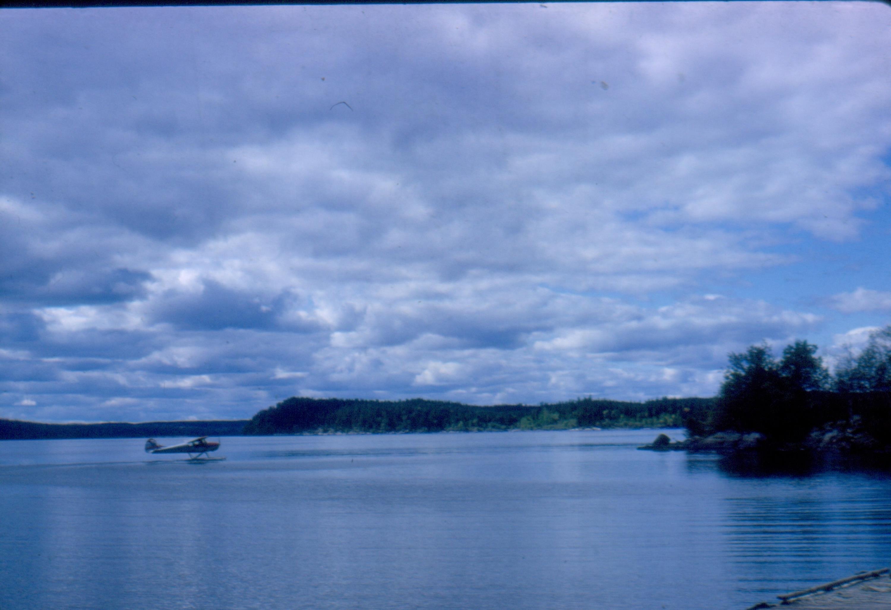
Bob Kelly and CF-FBL at Devil Rapids camp [ Aug 28, 1964 ] 38 / 51
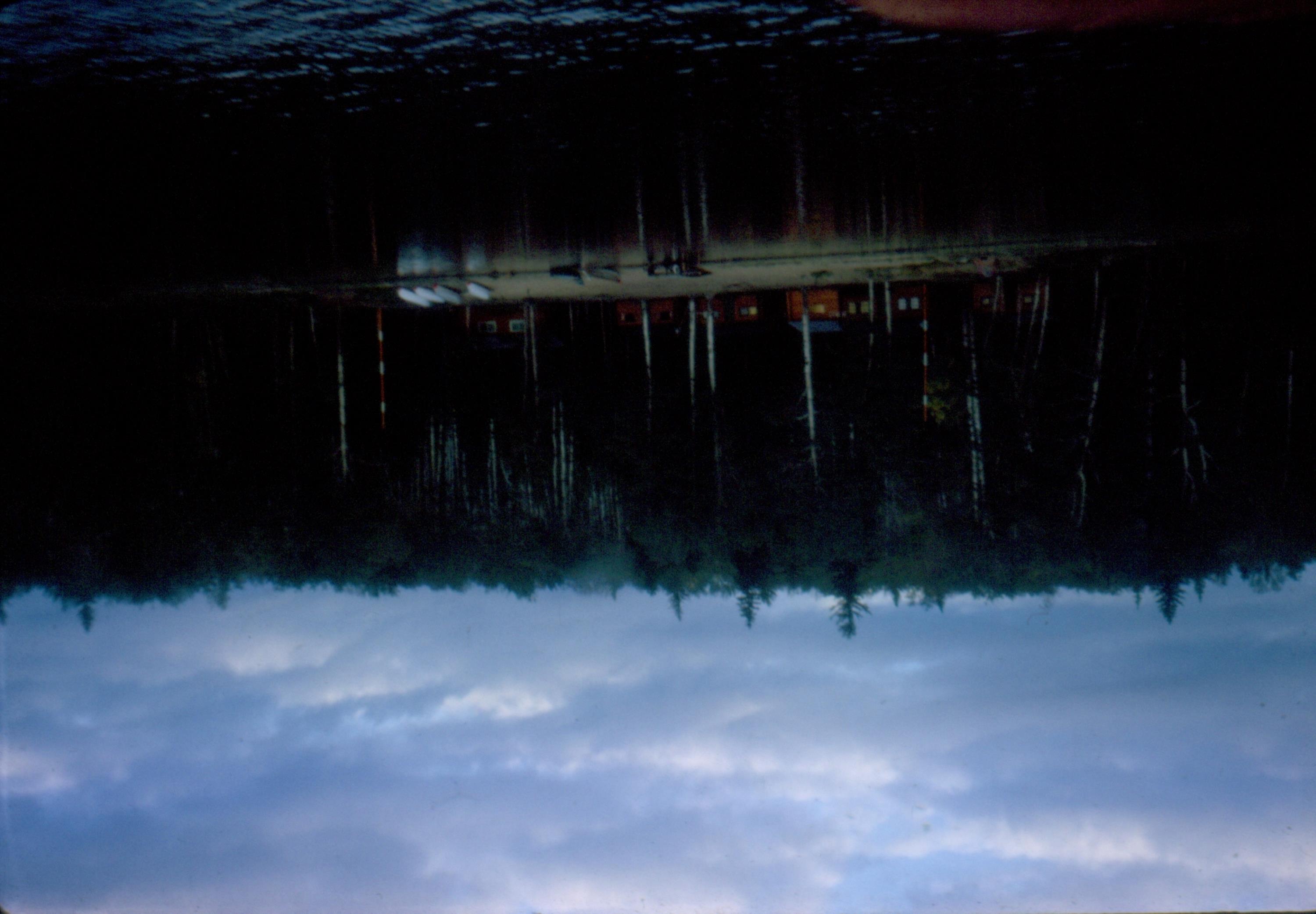
Devil Rapids camp [ Aug 28, 1964 ] 39 / 51
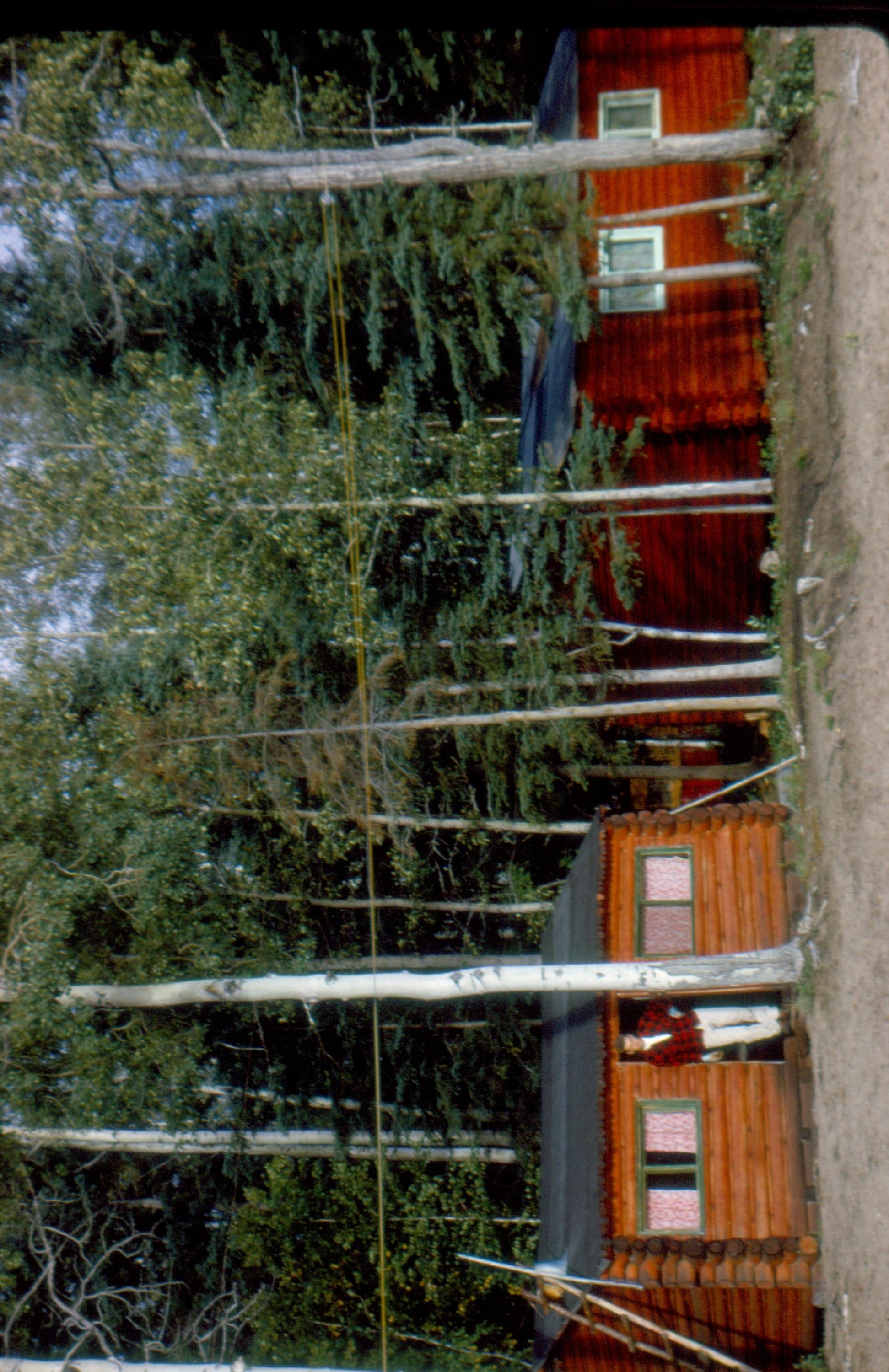
Devil Rapids camp. Note Bob's height to the door [ Aug 28, 1964 ] 40 / 51
On our way to Crew Rapids [ Aug 29, 1964 ] 41 / 51

On our way back from Crew Rapids [ Aug 29, 1964 ] 42 / 51
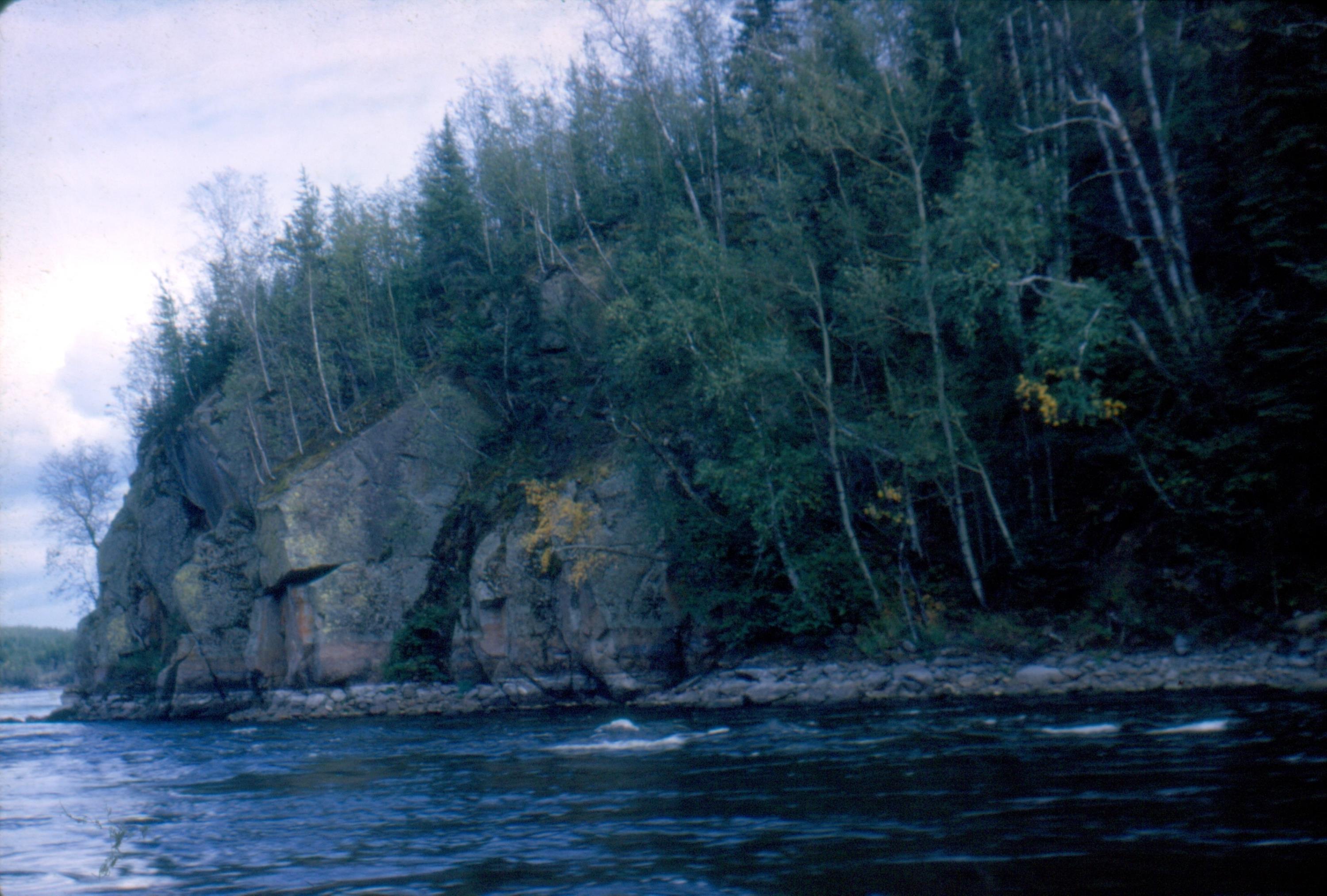
We approach Crew Rapids [ Aug 29, 1964 ] 43 / 51
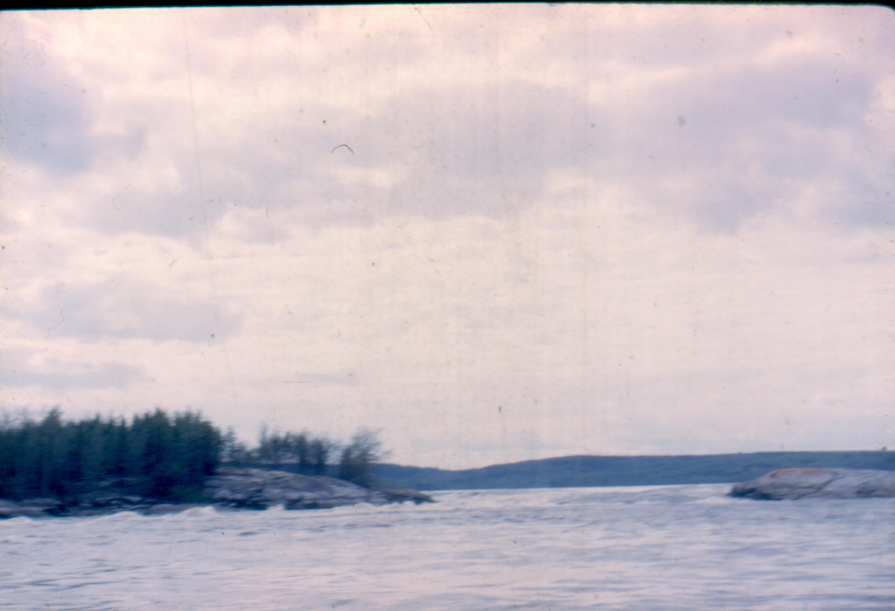
Crew Rapids [ Aug 29, 1964 ] 44 / 51

Crew Rapids [ Aug 29, 1964 ] 45 / 51

Crew Rapids [ Aug 29, 1964 ] 46 / 51
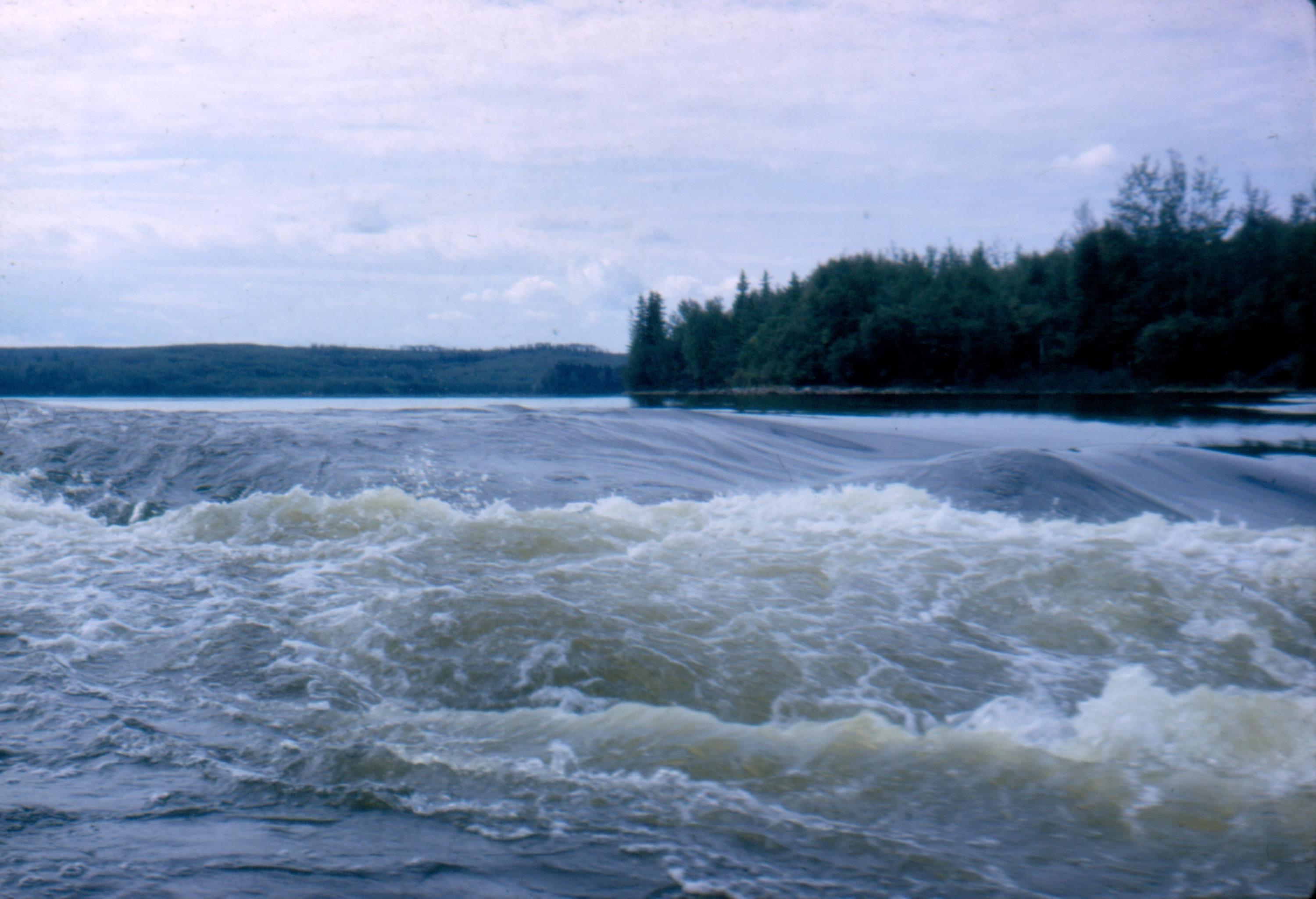
Crew Rapids [ Aug 29, 1964 ] 47 / 51
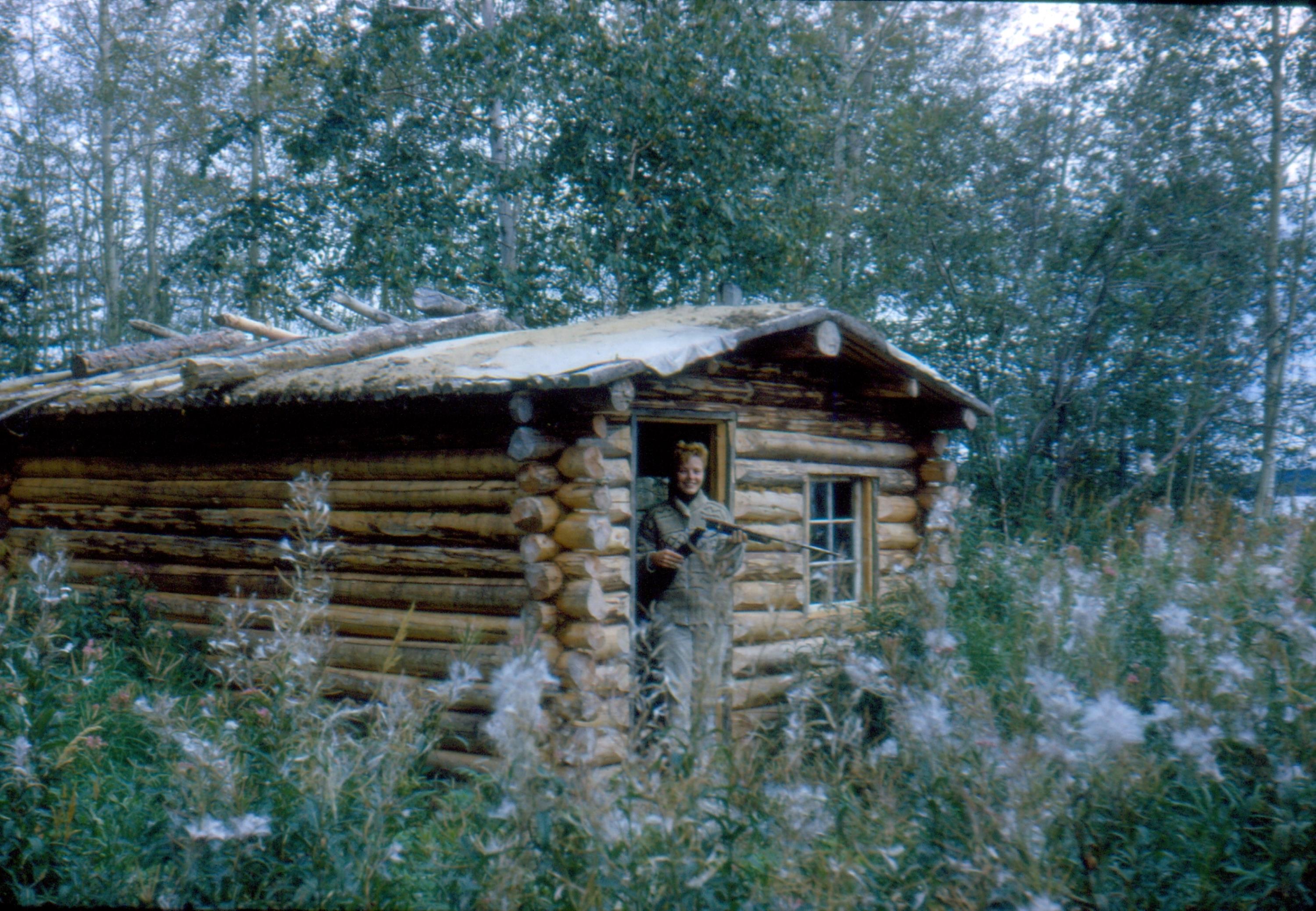
Leona in typical winter indian cabin [ Aug 29, 1964 ] 48 / 51
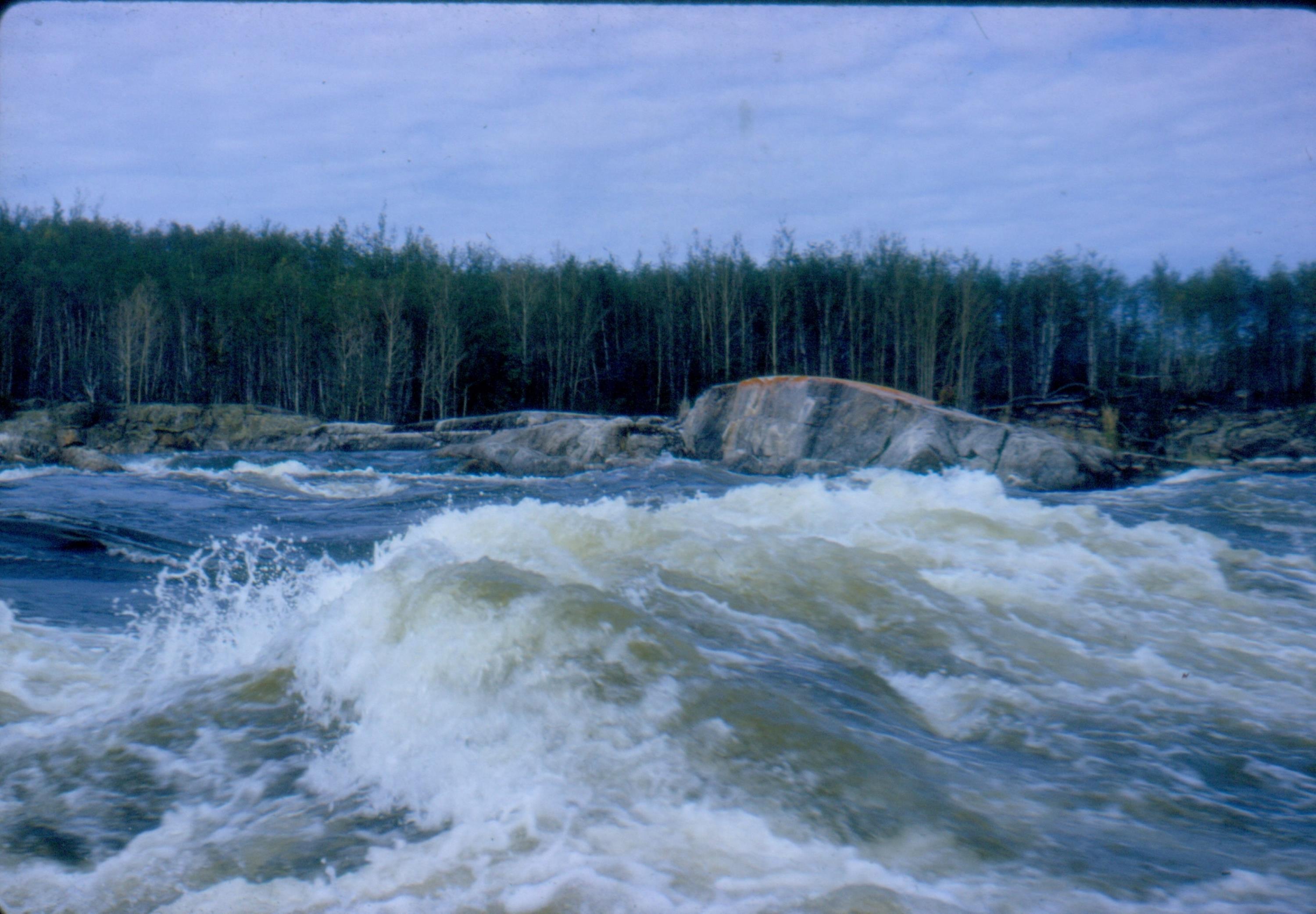
Bellow Rapids with Bob Kelly [ Sep 1, 1964 ] 49 / 51

Churchill River [ Sep 1, 1964 ] 50 / 51
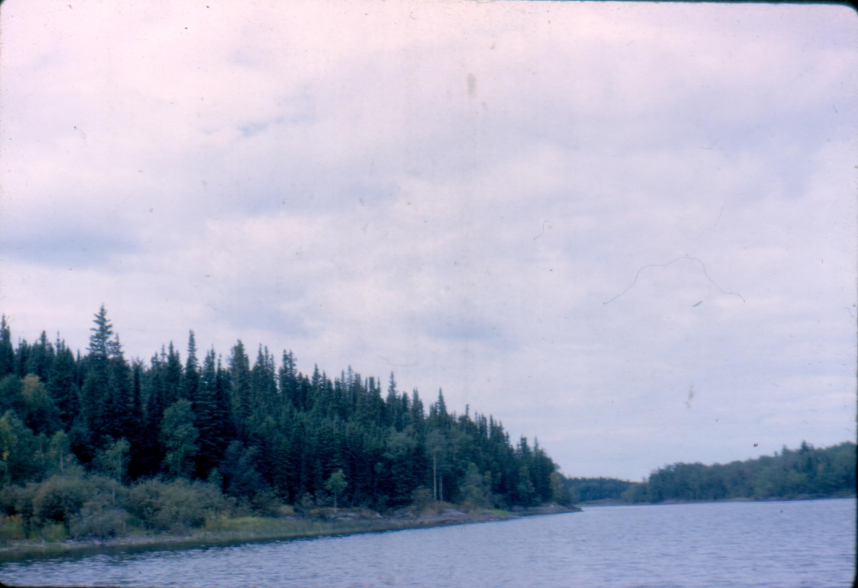
Churchill River [ Sep 1, 1964 ] 51 / 51
