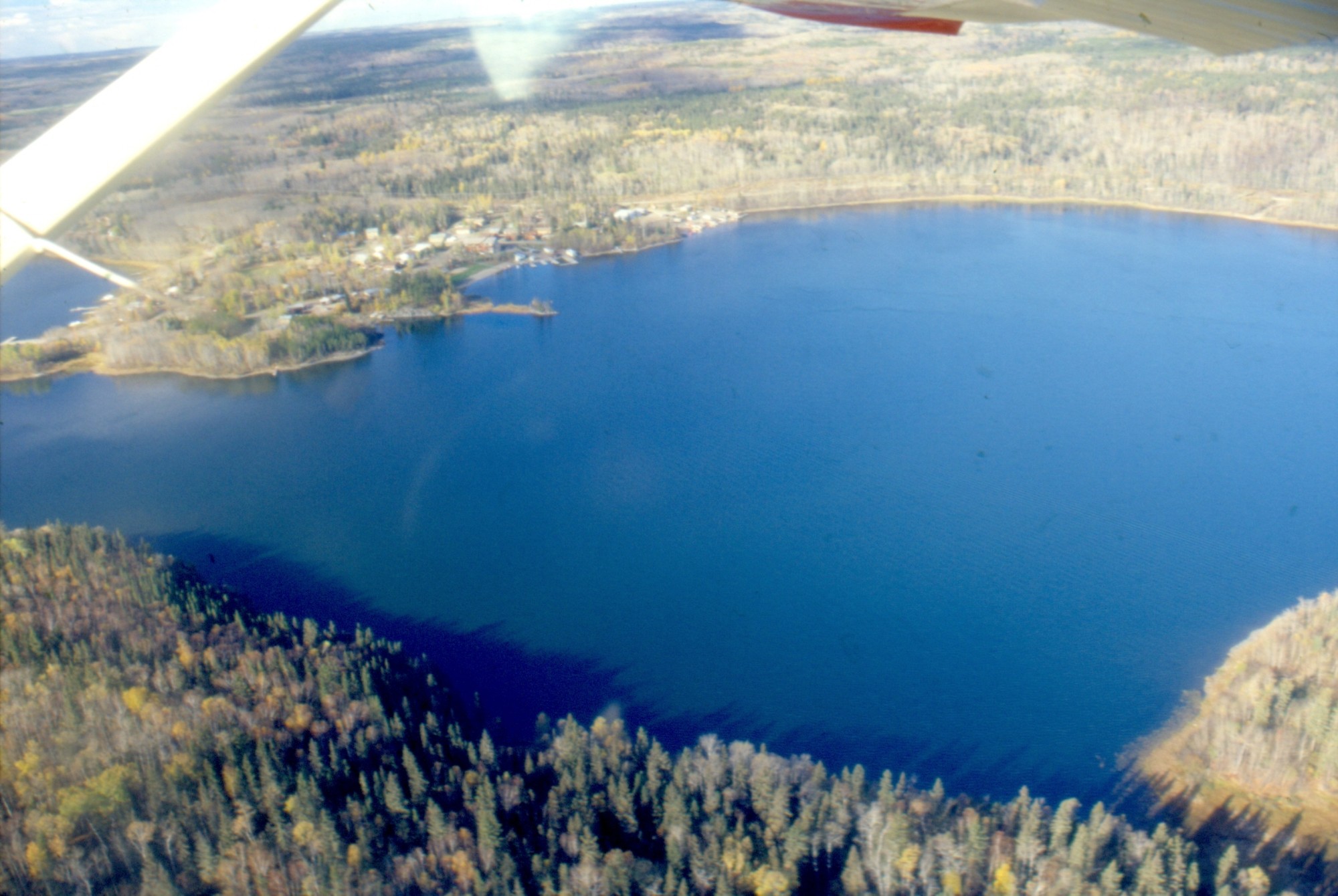
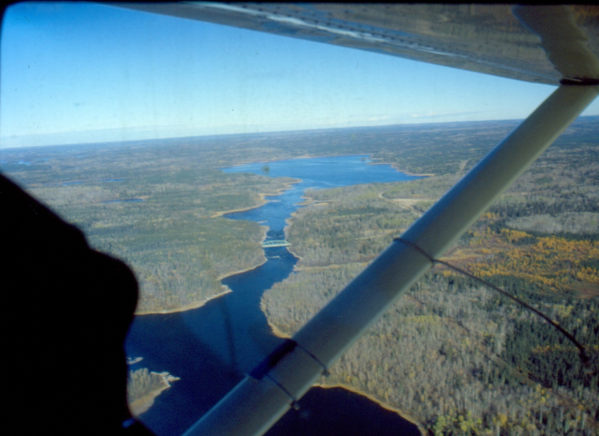
Missinipe from the south [ Oct 9, 1999 ] 1 / 20
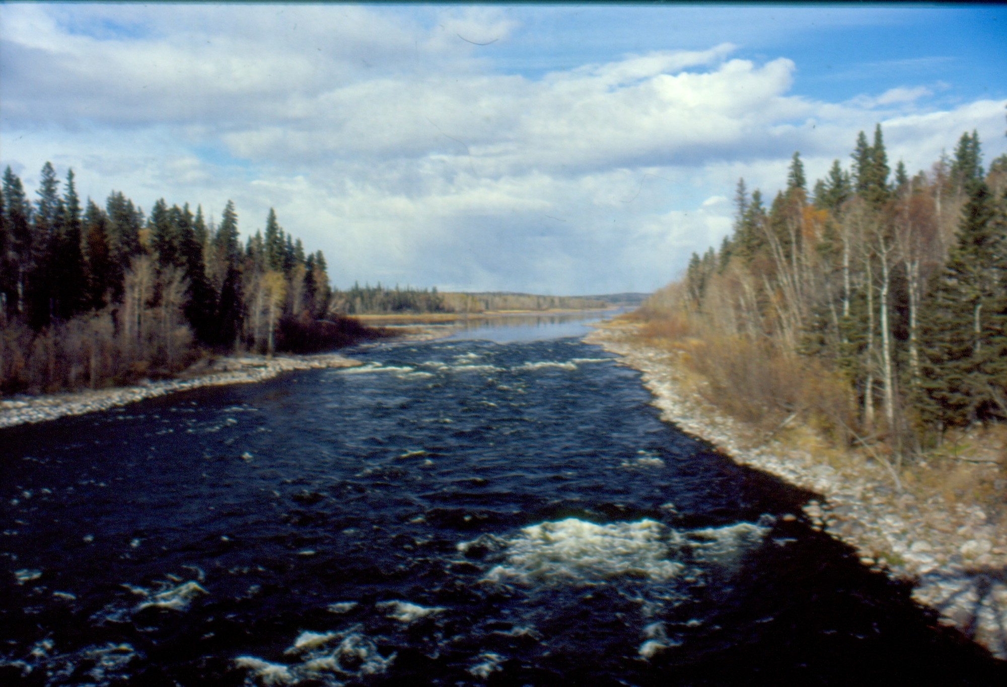
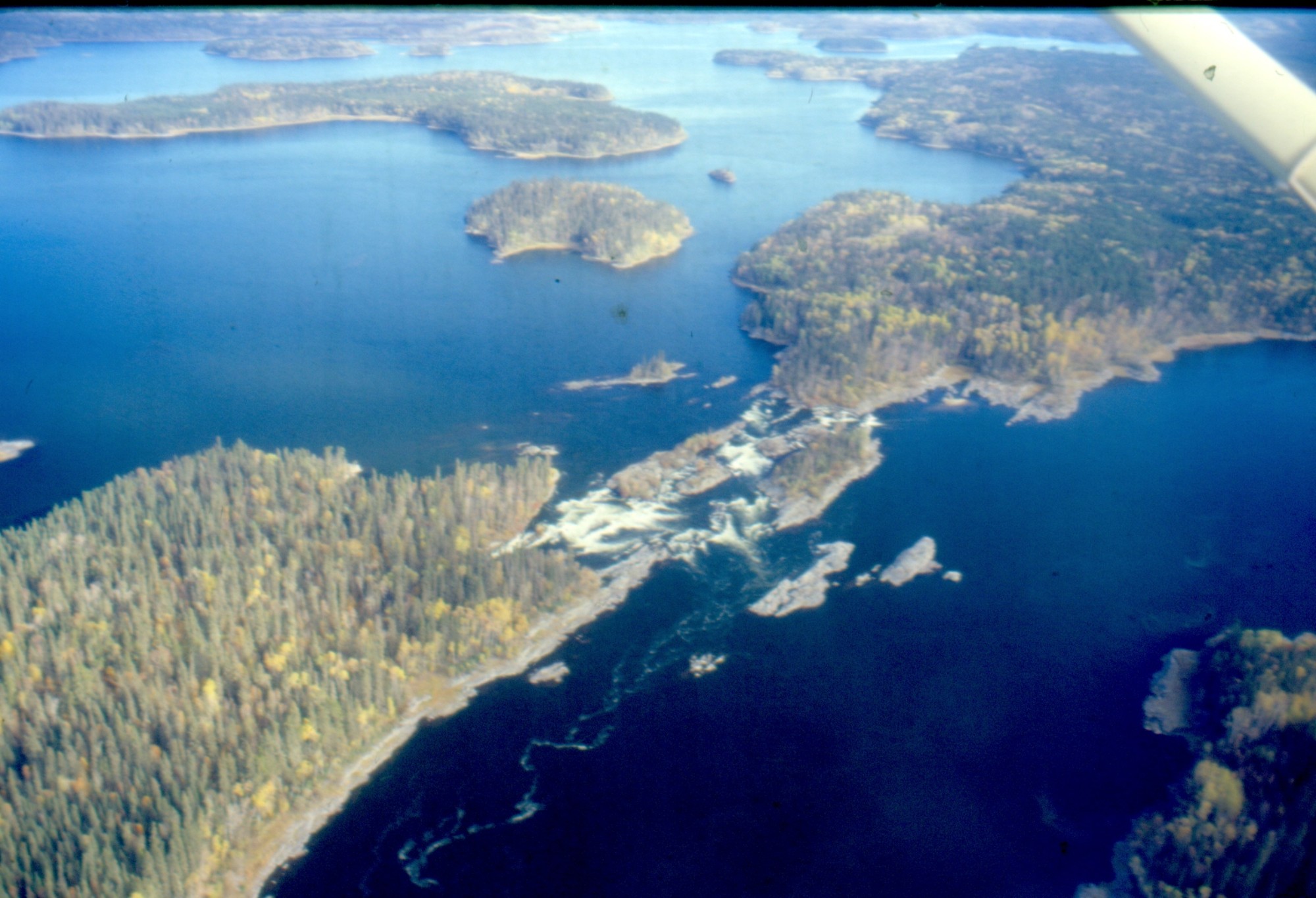
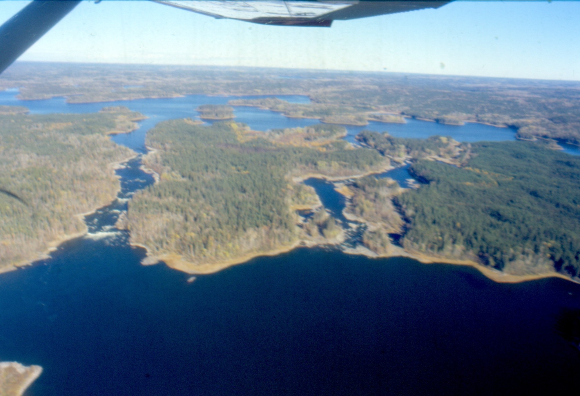
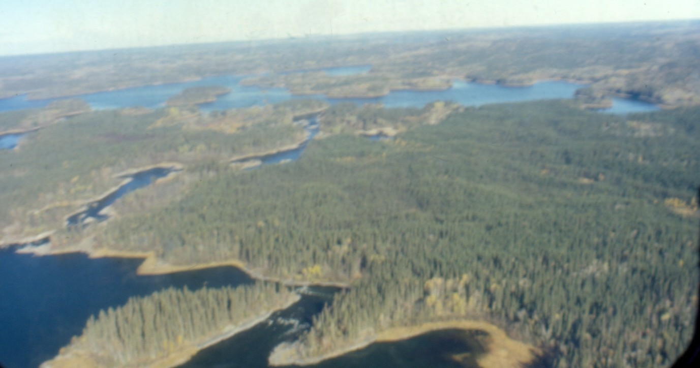
Otter Lake and rapids [ Oct 9, 1999 ] 2 / 20
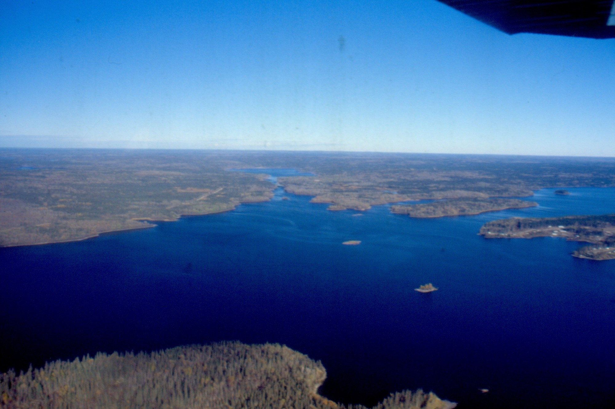
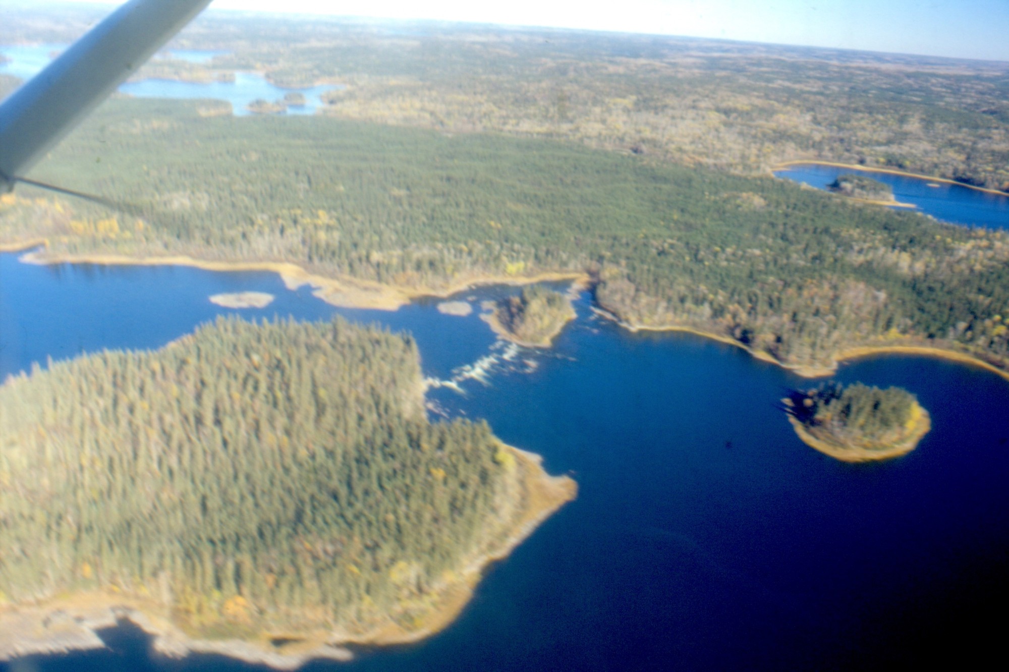
Otter Lake [ Oct 9, 1999 ] 3 / 20
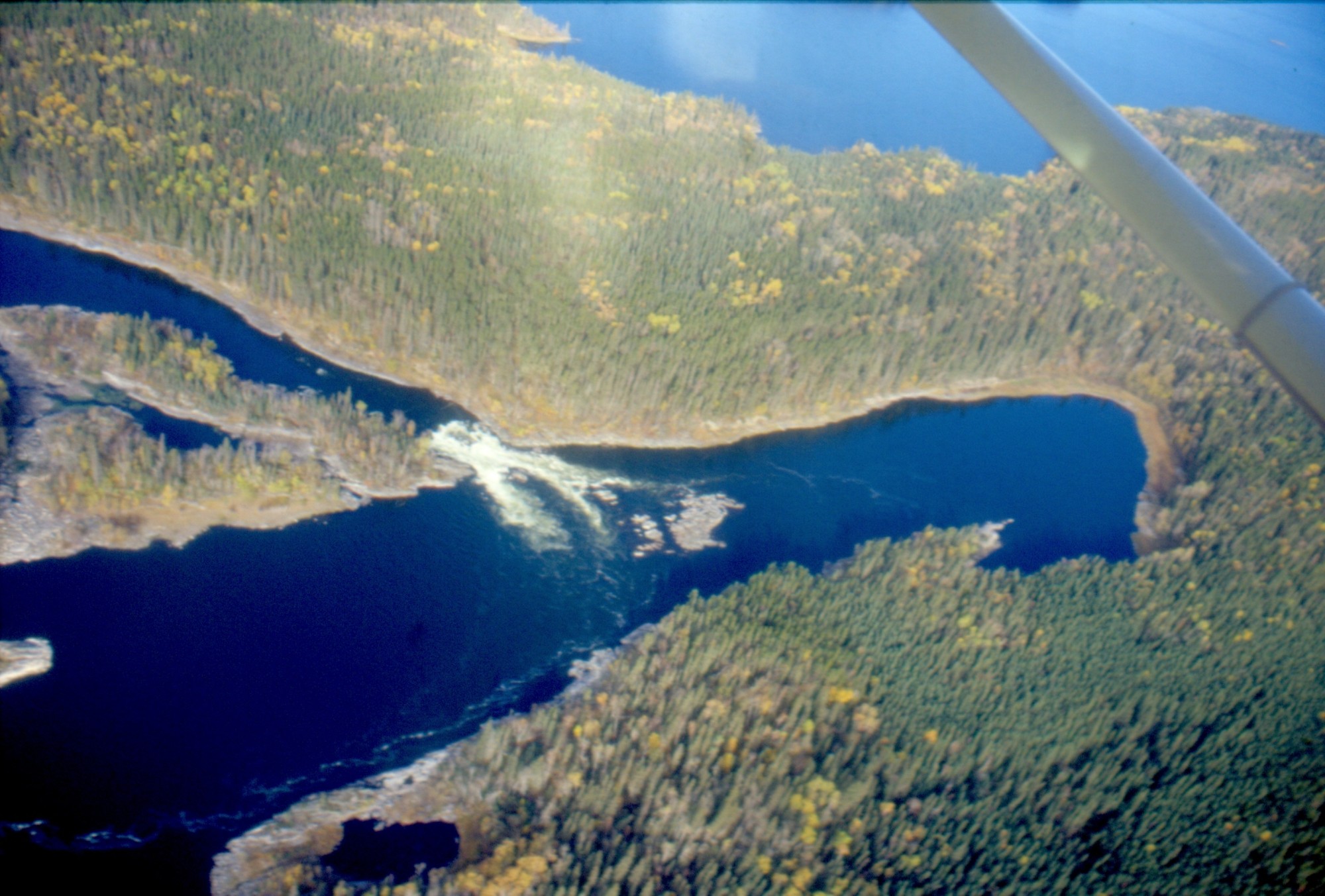
Robertson Falls, as low as 1993 [ Oct 9, 1999 ] 4 / 20
Robertson Falls, note sand beach looking north [ Oct 9, 1999 ] 5 / 20
Robertson Falls looking south [ Oct 9, 1999 ] 6 / 20

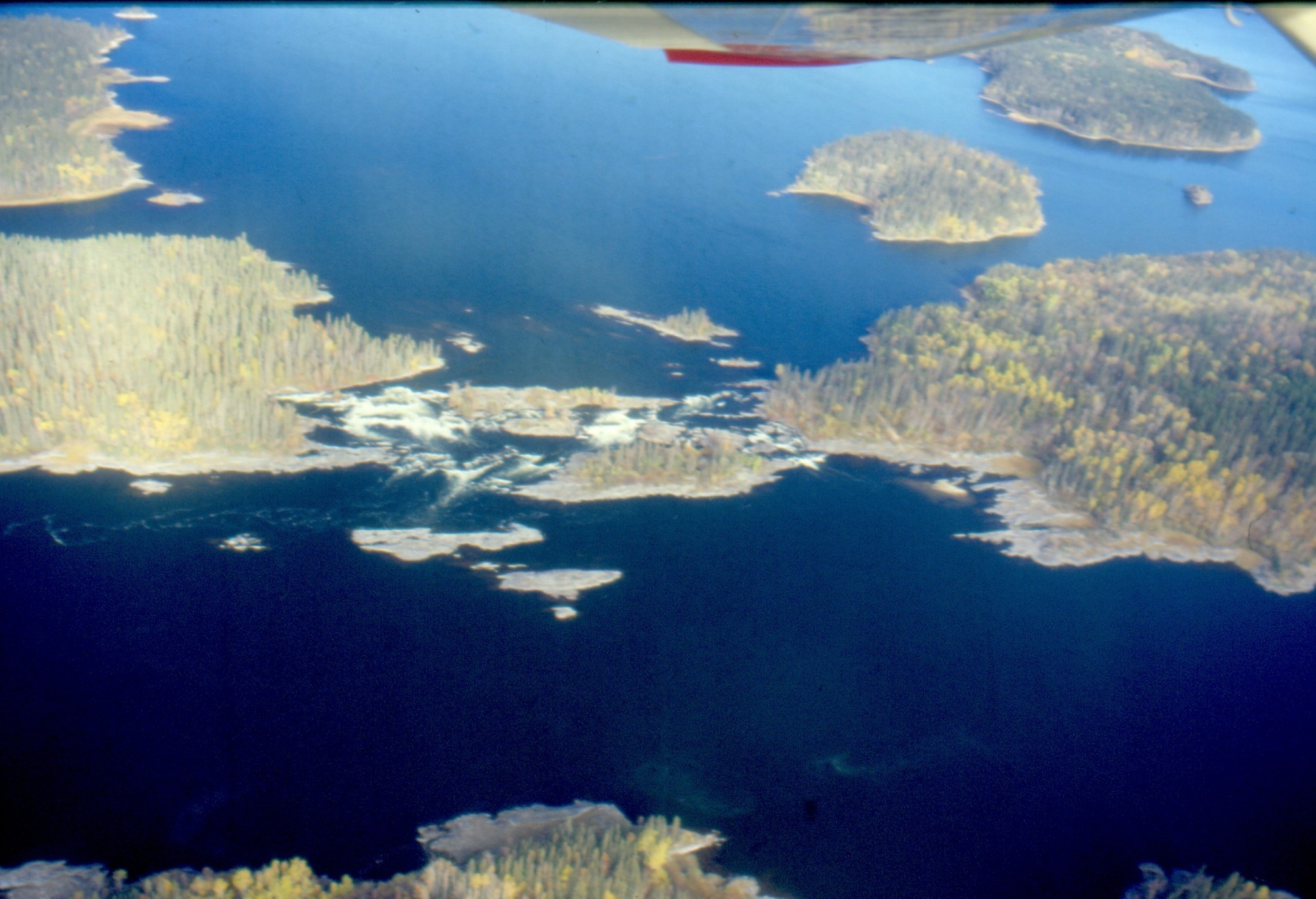
Robertson Falls, note rock below Twin Falls [ Oct 9, 1999 ] 7 / 20
Twin Falls looking NE Beyond La Ronge resort [ Oct 9, 1999 ] 8 / 20
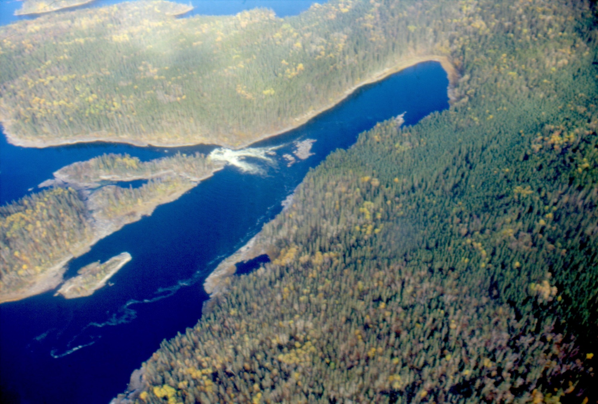
Otter Bridge, water as low as 1993 [ Oct 9, 1999 ] 9 / 20
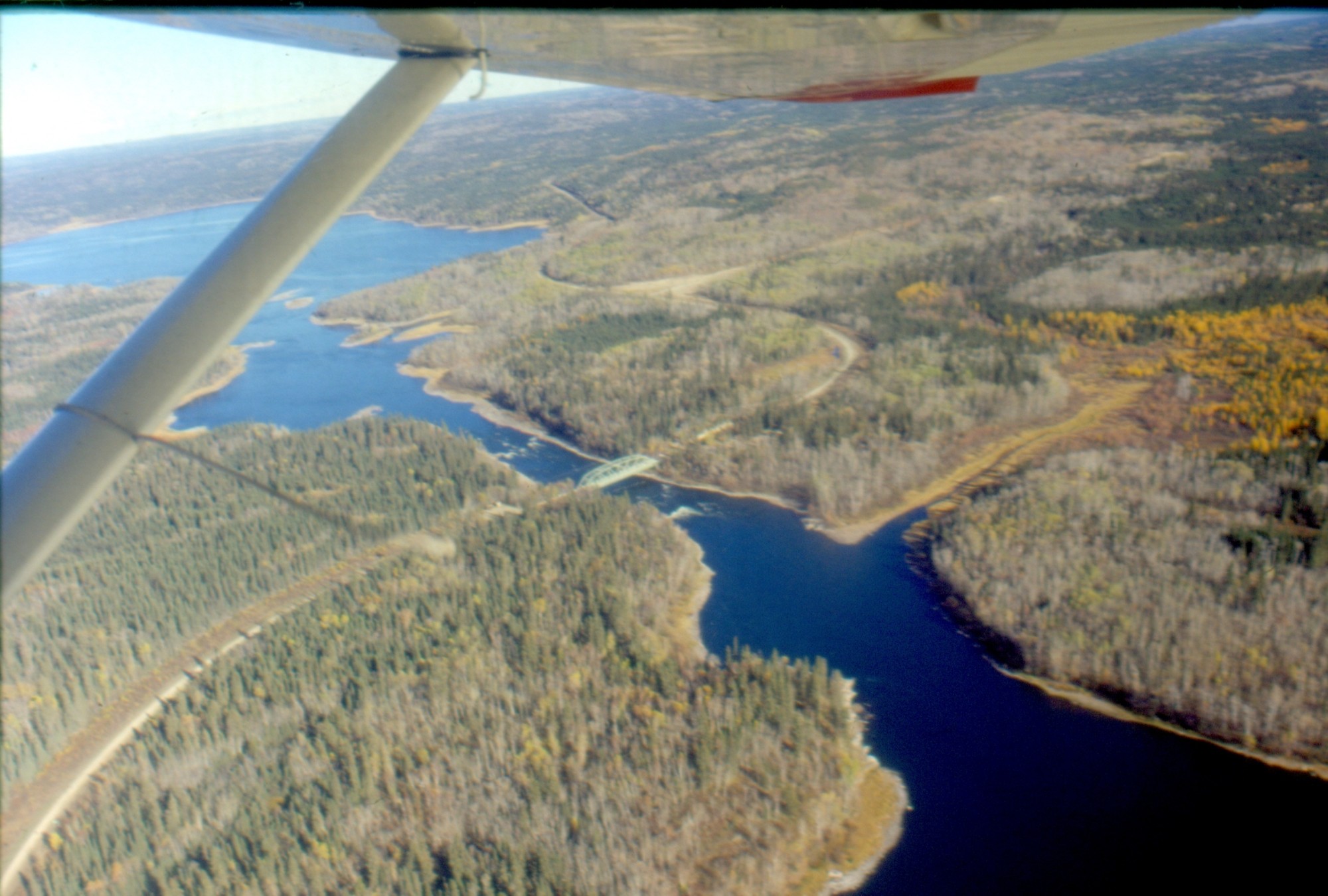
Otter Rapids looking NE at highway 102 [ Oct 9, 1999 ] 10 / 20
At top, Devil Lake. Mosquito Rapids and Murray Falls [ Oct 9, 1999 ] 11 / 20

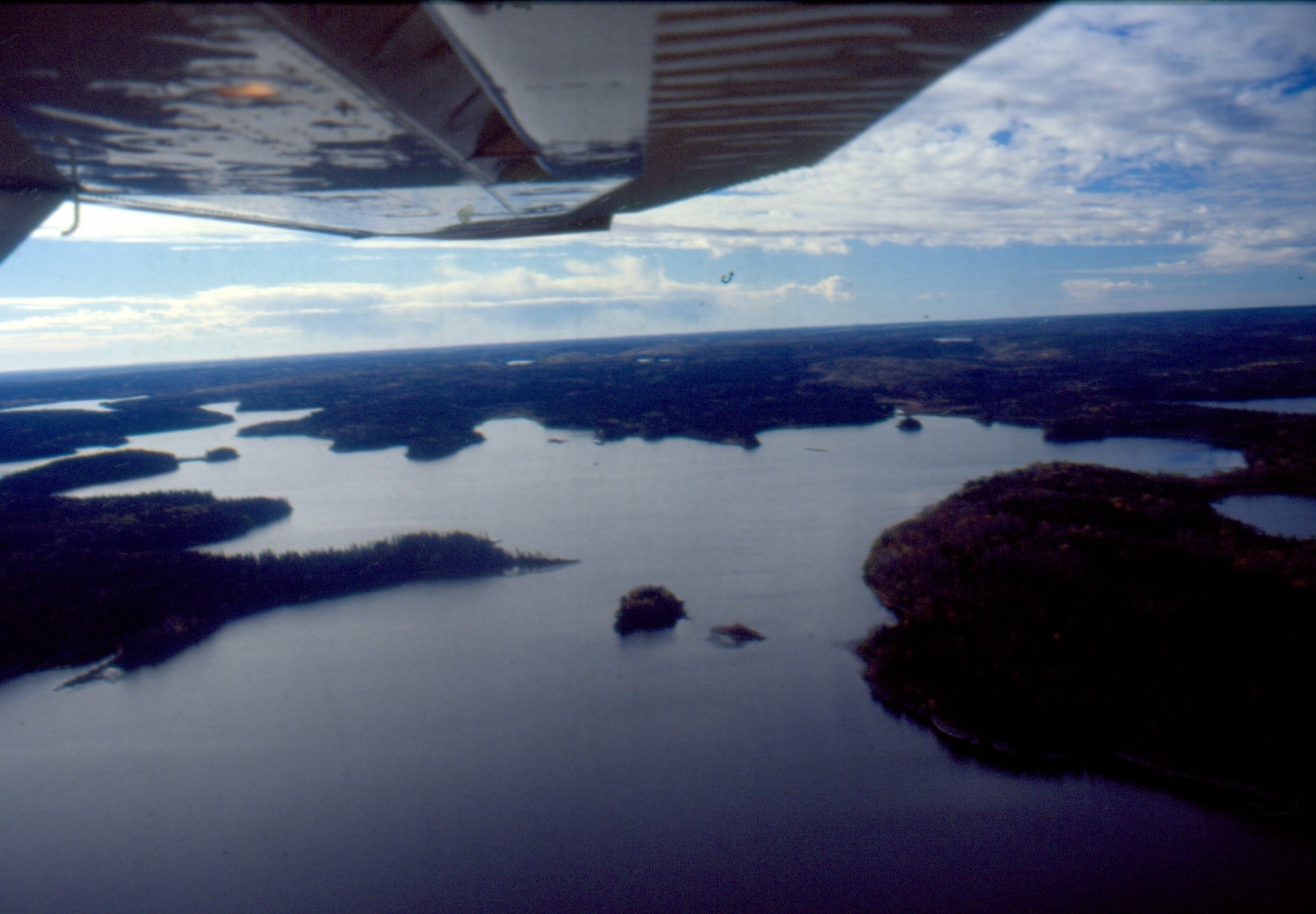
Barker Lake, north route from Sluice Falls [ Oct 9, 1999 ] 12 / 20
Donaldson Island, Sluice Falls on the left [ Oct 9, 1999 ] 13 / 20
Devil Rapids camp (L. Kelly) [ Oct 9, 1999 ] 14 / 20
.jpg)
Whirpool Rapids, Hayman Lake at top [ Oct 9, 1999 ] 15 / 20
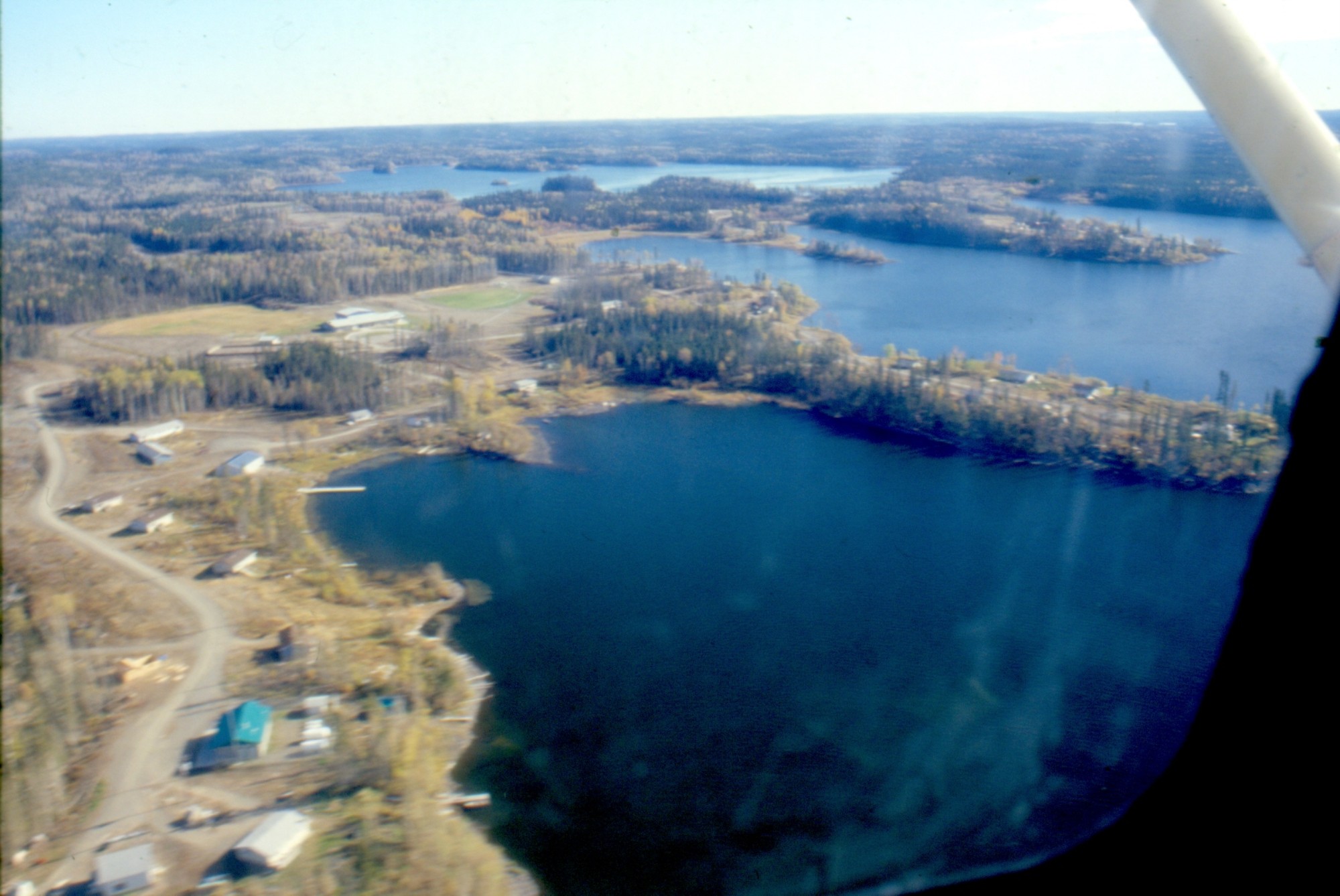
Grandmother Bay, First Nations reserve 219 at north side of Otter Lake [ Oct 9, 1999 ] 16 / 20
Walker Bay, we prepare to land [ Oct 9, 1999 ] 17 / 20
Missinipe. Ralph and Don Hill (pilot) in blue jacket [ Oct 9, 1999 ] 18 / 20
 in blue jacket.jpg)
Osprey Airport at Missinipe. Don Hill and Ralph Worel [ Oct 9, 1999 ] 19 / 20

Otter Rapids, as low as 1993 [ Oct 9, 1999 ] 20 / 20